


13.9 km | 19.1 km-effort

User


FREE GPS app for hiking
 SityTrail
IGN / Geographical institutes
SityTrail World
The world is yours!
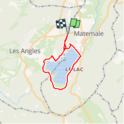
Trail Walking of 10.2 km to be discovered at Occitania, Pyrénées-Orientales, Matemale. This trail is proposed by tracegps.
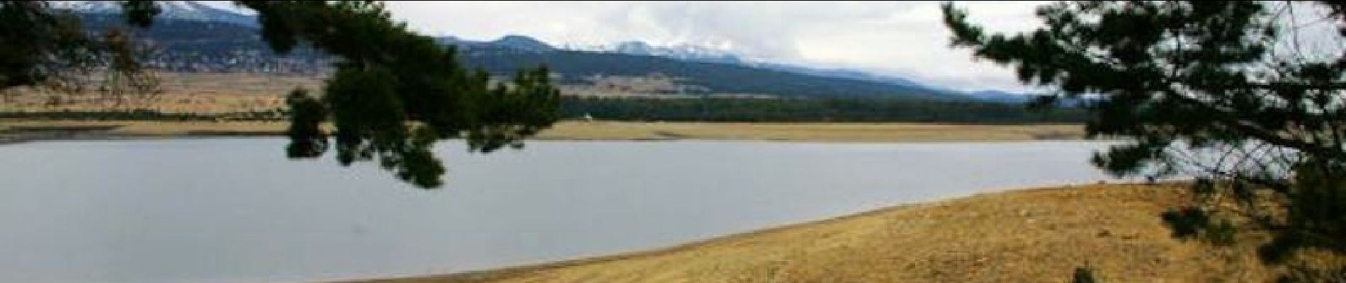
Une balade autour du Lac de Matemale près de la station des Angles. D’autres informations et photos sont disponibles ICI Balade proposée par « Les Balades et Randonnées de Fred »


Snowshoes
Walking

Walking

Walking

Walking

Snowshoes
Walking
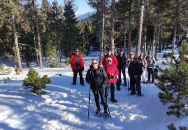
Snowshoes

Walking
tres agreable