


11,1 km | 13,5 km-effort


Gebruiker


Gratisgps-wandelapplicatie
 SityTrail
IGN / Geografische instituten
SityTrail World
De wereld gaat voor u open
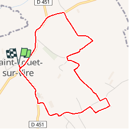
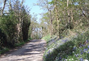
Tocht Stappen van 4,6 km beschikbaar op Normandië, Manche, Saint-Louet-sur-Vire. Deze tocht wordt voorgesteld door tracegps.
Circuit proposé par la Communauté de Communes de Tessy sur Vire. Départ de la salle des fêtes de St Louet-sur-Vire. Retrouvez le descriptif et les commentaires du circuit sur le site de la Communauté de Communes de Tessy sur Vire.


Stappen
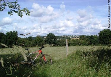
Mountainbike
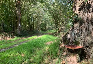
Stappen
Stappen

Stappen

Mountainbike

Stappen

Stappen
Mountainbike