


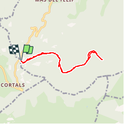

9,3 km | 18,5 km-effort


Gebruiker


Gratisgps-wandelapplicatie
 SityTrail
IGN / Geografische instituten
SityTrail World
De wereld gaat voor u open
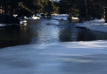
Tocht Sneeuwschoenen van 6,9 km beschikbaar op Occitanië, Pyrénées-Orientales, Ayguatébia-Talau. Deze tocht wordt voorgesteld door tracegps.
Randonnée facile en raquettes.


Stappen

Stappen

Stappen

Stappen
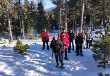
Sneeuwschoenen
Stappen
Sneeuwschoenen
Sneeuwschoenen
Stappen