


17,1 km | 25 km-effort

Gebruiker


Gratisgps-wandelapplicatie
 SityTrail
IGN / Geografische instituten
SityTrail World
De wereld gaat voor u open
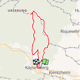
Tocht Stappen van 12,9 km beschikbaar op Grand Est, Haut-Rhin, Kaysersberg-Vignoble. Deze tocht wordt voorgesteld door tracegps.
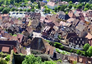
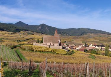
Jalon illuminé sur la route des Vins, Kaysersberg surprend par le charme de ses sites médiévaux groupés autour de l’église (portail roman et au retable sculpté, chef d’œuvre rarement égalé) et du pont fortifié dominé par le château (vestige de l’ancienne ville libre de la décapole). Sa position stratégique ranime le souvenir de la route Romaine qui reliait l’Alsace à la Lorraine. C’est une des plus charmantes cités d’Alsace avec ses ruelles pavées et ses maisons à colombages richement ornées. Son hôtellerie accueillante offre de quoi satisfaire le plus exigeant. De plus, la ville natale du docteur Schweitzer se signale par ses possibilités de camping et l’agrément de ses promenades forestières dans un calme absolu. Située sur la route de St Jacques de Compostelle. Auberge Saint-Alexis : Au pied du Seelbourg et du Koenigstuhl, à une altitude de 650 mètres s'élèvent une ancienne ferme et une petite chapelle. Lieu de randonnée privilégié, cet endroit idyllique attire chaque année de nombreux promeneurs prêts à découvrir les beautés et la majesté de sites et de forêts. Depuis 1930, la famille Barlier-Ertlé exploite l'auberge. Départ : Office du Tourisme de Kaysersberg. Balisage : Croix bleu – disque jaune.


Stappen

Stappen
Stappen
Paardrijden

Stappen
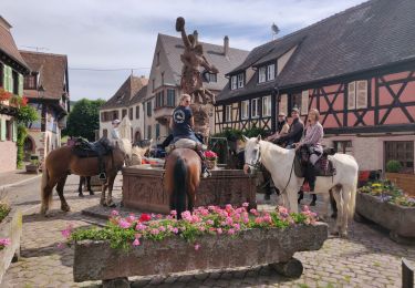
Paardrijden

Stappen

Stappen
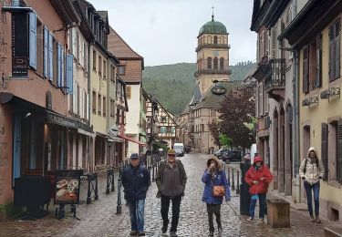
Stappen