


23 km | 27 km-effort

Gebruiker


Gratisgps-wandelapplicatie
 SityTrail
IGN / Geografische instituten
SityTrail World
De wereld gaat voor u open
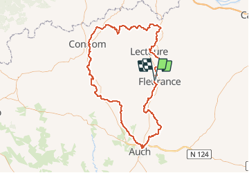
Tocht Mountainbike van 155 km beschikbaar op Occitanië, Gers, Fleurance. Deze tocht wordt voorgesteld door tracegps.
Le meilleur moyen de connaitre le Gers est encore de parcourir ses routes, chemins, ses espaces. En empruntant cet itinéraire, découvrez tour à tour Fleurance, Montaut-les-Crénaux, Auch, Lavardens, Caséra-Verduzan, Valence-sur-Baïse, Condom, La Romieu et Lectoure. Réalisable en VTT en 2 ou 3 jours. Réalisable en 6 jours à pied. Vous trouverez toutes les infos sur le TopoGuides (Le Gers à Pied). Editeur: FFRANDONNEE
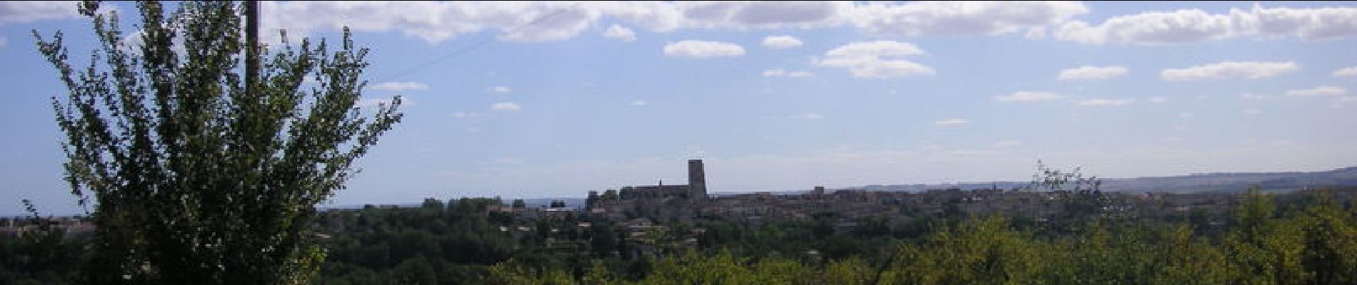
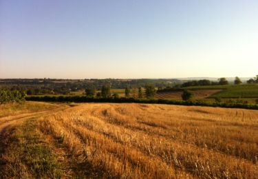
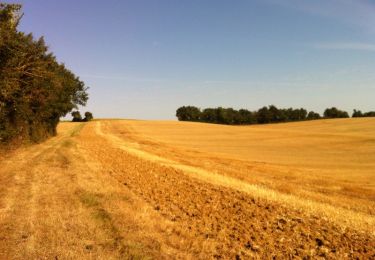
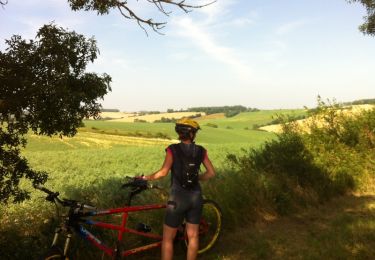
 - Photo 1")
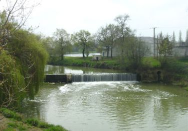
 - Photo 2")
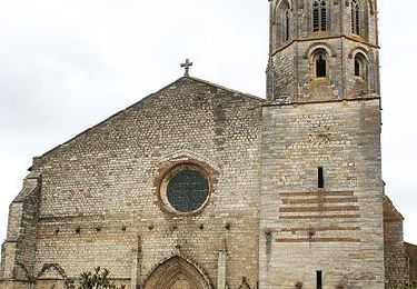
 - Photo 3")
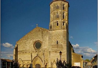
 - Photo 4")
 - Photo 5")
 - Photo 6")
Mountainbike
Mountainbike
Mountainbike
Stappen
Stappen
Stappen

Stappen

Stappen

Stappen