

Les hauteurs de Katzenthal

tracegps
Gebruiker

Lengte
4,5 km

Max. hoogte
444 m

Positief hoogteverschil
163 m

Km-Effort
6,7 km

Min. hoogte
272 m

Negatief hoogteverschil
166 m
Boucle
Ja
Datum van aanmaak :
2014-12-10 00:00:00.0
Laatste wijziging :
2014-12-10 00:00:00.0
1h00
Moeilijkheid : Gemakkelijk

Gratisgps-wandelapplicatie
Over ons
Tocht Mountainbike van 4,5 km beschikbaar op Grand Est, Haut-Rhin, Katzenthal. Deze tocht wordt voorgesteld door tracegps.
Beschrijving
Une balade courte à faire en famille. De jolis points de vue sur la Plaine d'Alsace et son Vignoble. Possibilité de visiter le château du Wineck le dimanche après midi.
Plaatsbepaling
Land:
France
Regio :
Grand Est
Departement/Provincie :
Haut-Rhin
Gemeente :
Katzenthal
Locatie:
Unknown
Vertrek:(Dec)
Vertrek:(UTM)
371944 ; 5329721 (32U) N.
Opmerkingen
Wandeltochten in de omgeving

D'Ammerschwihr aux Trois Epis


Stappen
Moeilijk
(1)
Ammerschwihr,
Grand Est,
Haut-Rhin,
France

17,1 km | 25 km-effort
5h 35min
Ja

Trois Épis le rocher du corbeau


Stappen
Gemakkelijk
(2)
Ammerschwihr,
Grand Est,
Haut-Rhin,
France

4,4 km | 5,7 km-effort
59min
Ja
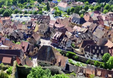
2021-05-30 Marche Kaysersberg Ursprung St Alexis


Stappen
Zeer moeilijk
Kaysersberg-Vignoble,
Grand Est,
Haut-Rhin,
France

17,1 km | 26 km-effort
4h 46min
Ja
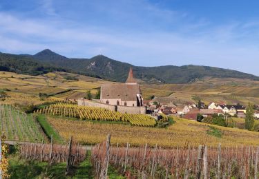
2019-10-26 CDTE67 Tournage Video Promotion TE


Paardrijden
Gemakkelijk
Kaysersberg-Vignoble,
Grand Est,
Haut-Rhin,
France

24 km | 29 km-effort
24min
Neen
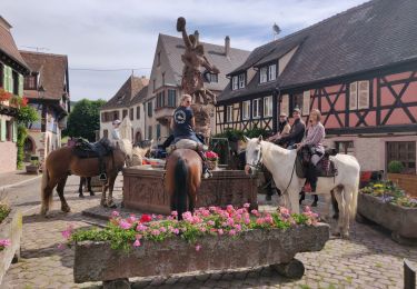
000004


Paardrijden
Zeer moeilijk
Kaysersberg-Vignoble,
Grand Est,
Haut-Rhin,
France

32 km | 45 km-effort
5h 55min
Ja
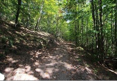
Le tour de Kysersberg


Stappen
Medium
(1)
Kaysersberg-Vignoble,
Grand Est,
Haut-Rhin,
France

7,9 km | 11,7 km-effort
2h 34min
Ja

Wintzenheim - Le Stauffen - Col de Marbach - Soultzbach


Mountainbike
Medium
(1)
Wintzenheim,
Grand Est,
Haut-Rhin,
France

23 km | 31 km-effort
2h 4min
Ja

Château de Pflixbourg depuis Saint Gilles


Stappen
Gemakkelijk
(1)
Wintzenheim,
Grand Est,
Haut-Rhin,
France

3,7 km | 6,2 km-effort
1h 21min
Ja
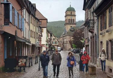
Katzenthal


Stappen
Moeilijk
Katzenthal,
Grand Est,
Haut-Rhin,
France

16,4 km | 25 km-effort
5h 40min
Ja


 SityTrail


