


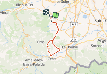

15 km | 18,2 km-effort


Gebruiker


Gratisgps-wandelapplicatie
 SityTrail
IGN / Geografische instituten
SityTrail World
De wereld gaat voor u open
Tocht Fiets van 43 km beschikbaar op Occitanië, Pyrénées-Orientales, Sainte-Colombe-de-la-Commanderie. Deze tocht wordt voorgesteld door mosse.
Ste Colombe Terrats Fourques Llauro Vives St Jean Pla de Corts Ceret Llauro Ste Colombe

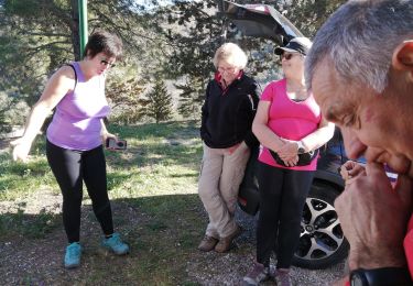
Stappen

Stappen
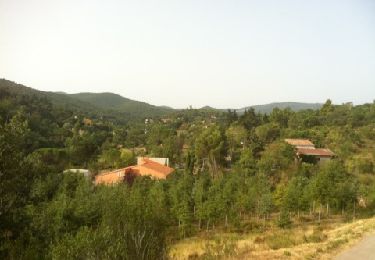
Stappen
Stappen
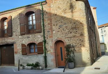
Stappen
Stappen

Stappen
Stappen
Stappen