


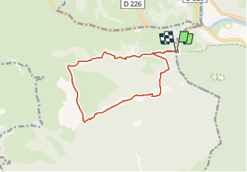


9,8 km | 13,6 km-effort


Gebruiker GUIDE


Gratisgps-wandelapplicatie
 SityTrail
IGN / Geografische instituten
SityTrail World
De wereld gaat voor u open
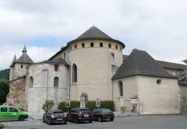
Tocht Te voet van 8 km beschikbaar op Occitanië, Hautes-Pyrénées, Saint-Pé-de-Bigorre. Deze tocht wordt voorgesteld door marmotte65.
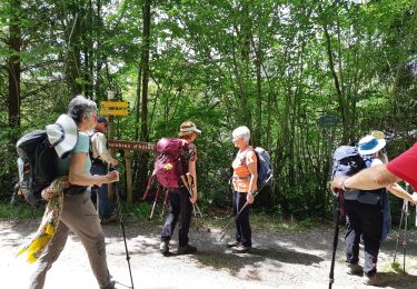
belle balade sans difficulte sauf a la descente raide sur 1.5km et dans des gros cailloux
Te voet
Te voet
Te voet
Te voet

Stappen
Stappen
Stappen
Te voet
Stappen