


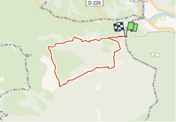


9.8 km | 13.6 km-effort


User GUIDE


FREE GPS app for hiking
 SityTrail
IGN / Geographical institutes
SityTrail World
The world is yours!
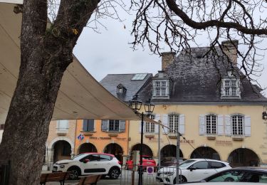
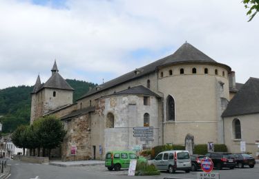
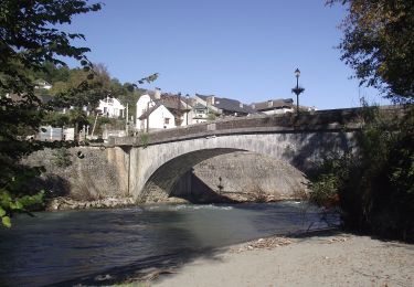
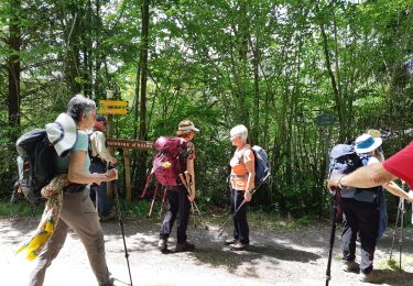
Trail On foot of 8 km to be discovered at Occitania, Hautespyrenees, Saint-Pé-de-Bigorre. This trail is proposed by marmotte65.
belle balade sans difficulte sauf a la descente raide sur 1.5km et dans des gros cailloux
On foot
On foot
On foot

On foot

Walking
Walking
Walking
On foot
Walking