


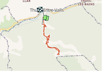

7,2 km | 15,3 km-effort

Gebruiker


Gratisgps-wandelapplicatie
 SityTrail
IGN / Geografische instituten
SityTrail World
De wereld gaat voor u open
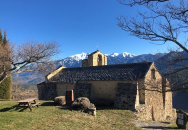
Tocht Stappen van 6,7 km beschikbaar op Occitanië, Pyrénées-Orientales, Thuès-Entre-Valls. Deze tocht wordt voorgesteld door attelageplaisir.
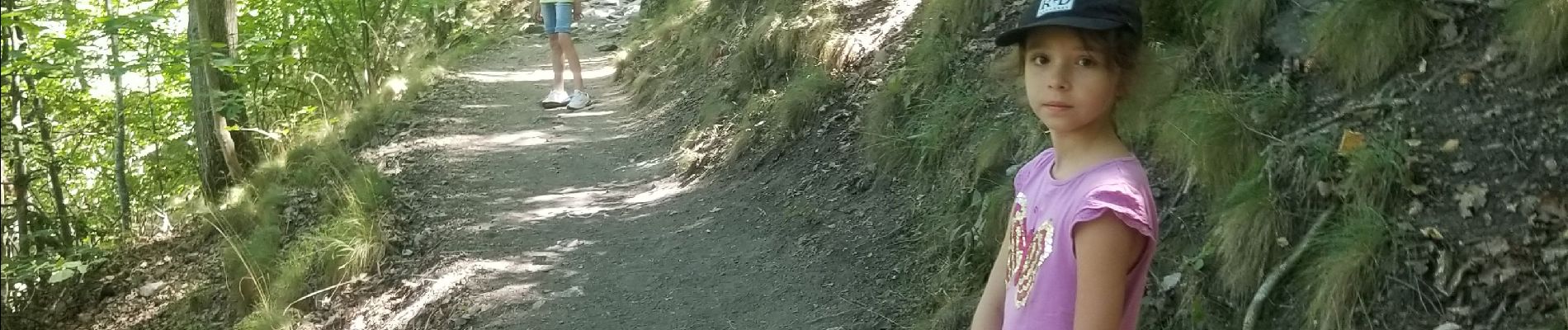
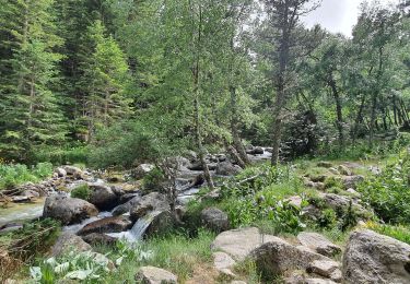
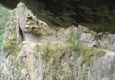
tres joli parcours ...entre pierres et eau....nombreuses parcelles et corniches à passer...avec prudence c'est accessible mais difficile pour les personnes sensibles aux vertiges ....a faire ....vous ne serez pas déçu...


Stappen

Stappen

Stappen

Stappen
Stappen
Stappen
Te voet
Stappen
Stappen