


 - Photo 21")
 - Photo 22")
 - Photo 23")
 - Photo 24")
 - Photo 25")
 - Photo 26")
 - Photo 27")
 - Photo 28")
 - Photo 29")
 - Photo 30")
 - Photo 31")
 - Photo 32")
 - Photo 33")

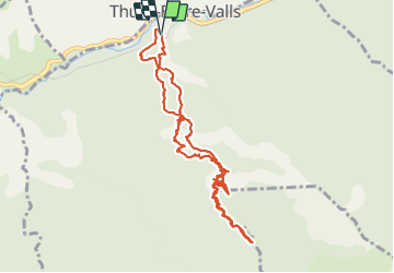
7,2 km | 15,3 km-effort

Gebruiker


Gratisgps-wandelapplicatie
 SityTrail
IGN / Geografische instituten
SityTrail World
De wereld gaat voor u open
Tocht Stappen van 12,5 km beschikbaar op Occitanië, Pyrénées-Orientales, Thuès-Entre-Valls. Deze tocht wordt voorgesteld door PiloudeBamako.
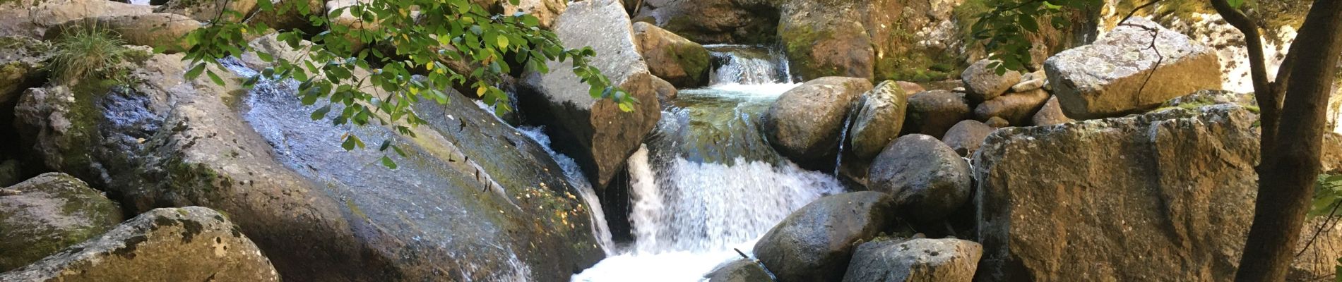
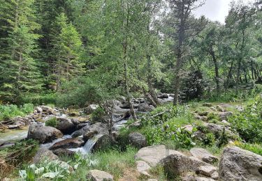
Circuit dans les gorges de la Carança.
Aller par la rive droite de la rivière jusqu'au Pont de Pierre (environ 5 kms de marche - altitude de 1 150m). Retour sur ses pas jusqu'à la bifurcation vers la rive gauche et la prise d'eau (au grand panneau de bois sans indication proche de la rivière, rester au bord de l'eau pour trouver la passerelle traversant le cours d'eau et accéder à la bouche de retour par la corniche creusée dans la roche).
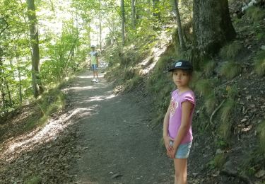
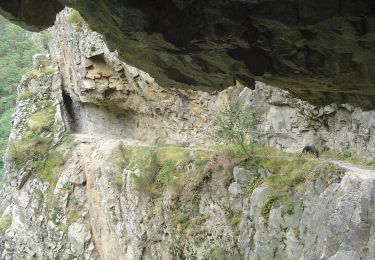
Pas de difficultés insurmontables (échelles, passerelles, ponts de singe, corniches) car tout le parcours est sécurisé par des mains courantes, mais déconseillé aux personnes sensibles au vertige.
 - Photo 1")
 - Photo 2")
 - Photo 3")
 - Photo 4")
 - Photo 5")
 - Photo 6")
 - Photo 7")
 - Photo 8")
 - Photo 9")
 - Photo 10")
 - Photo 11")
 - Photo 12")
 - Photo 13")
 - Photo 14")
 - Photo 15")
 - Photo 16")
 - Photo 17")
 - Photo 18")
 - Photo 19")
 - Photo 20")
33 fotos in totaal. Klik op een foto om ze allemaal in de galerij weer te geven.

Stappen
Stappen

Stappen

Stappen

Stappen
Stappen
Stappen
Te voet
Stappen