


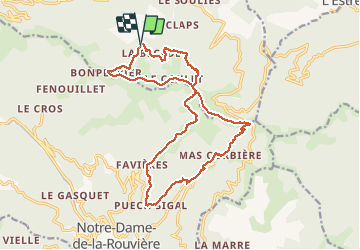

13,6 km | 21 km-effort

Gebruiker GUIDE


Gratisgps-wandelapplicatie
 SityTrail
IGN / Geografische instituten
SityTrail World
De wereld gaat voor u open
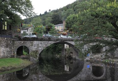
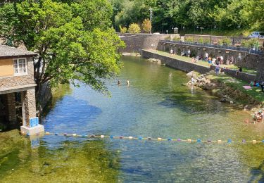
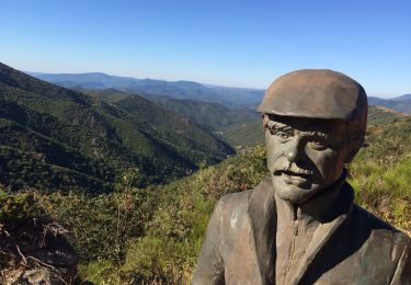
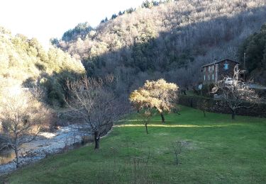
Tocht Stappen van 19,7 km beschikbaar op Occitanië, Gard, Les Plantiers. Deze tocht wordt voorgesteld door nadinebondoux.
départ la Becede , Bon Perrier Col de l'homme mort, Pont Moutonnier, Puech Sigal


Stappen
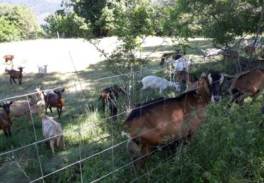
Stappen
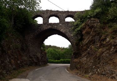
Stappen

Stappen

Stappen
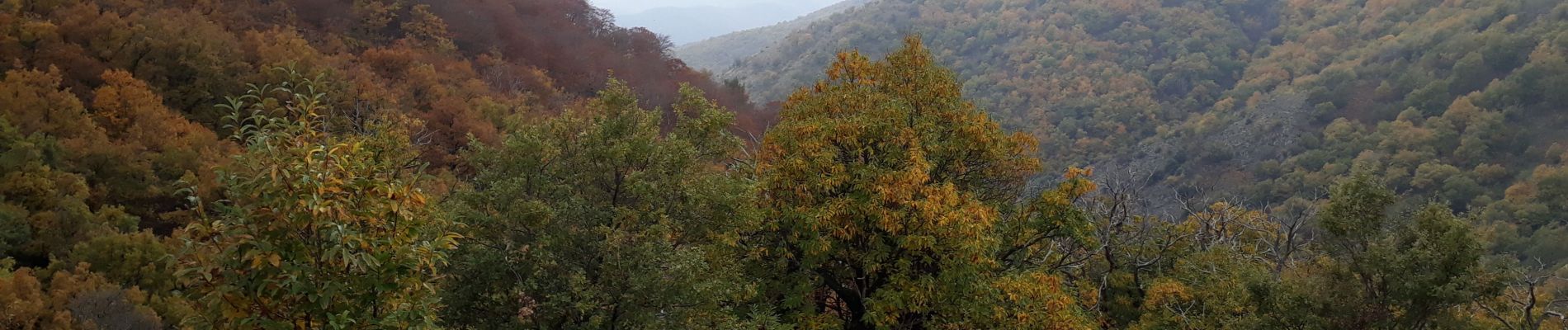
Te voet
Stappen
Stappen
Stappen