


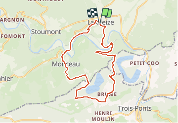

23 km | 33 km-effort

Gebruiker GUIDE


Gratisgps-wandelapplicatie
 SityTrail
IGN / Geografische instituten
SityTrail World
De wereld gaat voor u open
Tocht Stappen van 15,8 km beschikbaar op Wallonië, Luik, Stoumont. Deze tocht wordt voorgesteld door mumu.larandonneuse.
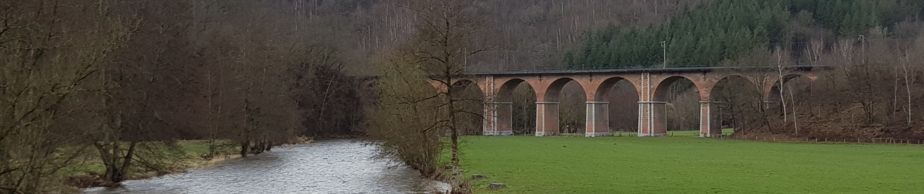
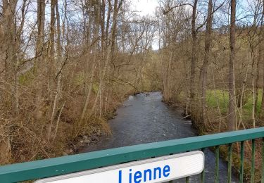
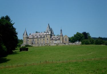
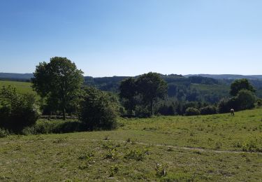
Superbe randonnée offrant des vues panoramiques sur la vallée de l'Amblève et sur le lac de Coo.
📌 & 🅿️ Devant l'église.
Balisage rectangle rouge.
ℹ sur www.ovatourisme.be.


Stappen

Stappen
Stappen
Stappen

Stappen

Stappen
Stappen
Stappen

Stappen
Superbe randonnée, magnifique parcours avec de belles vues panoramiques.