


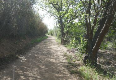
7 km | 7,5 km-effort


Gebruiker


Gratisgps-wandelapplicatie
 SityTrail
IGN / Geografische instituten
SityTrail World
De wereld gaat voor u open
Tocht Wegfiets van 112 km beschikbaar op Occitanië, Pyrénées-Orientales, Cabestany. Deze tocht wordt voorgesteld door Michel Pontie.
Perp Soler thuir torderes llauro oms calmeilles fourtou boule amont bouleternere st feliu soler baho st esteve

Stappen

Stappen

Stappen
Stappen
Stappen
Stappen

Stappen

Stappen
Stappen