


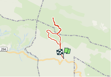

13,7 km | 27 km-effort


Gebruiker


Gratisgps-wandelapplicatie
 SityTrail
IGN / Geografische instituten
SityTrail World
De wereld gaat voor u open
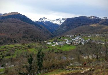
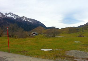
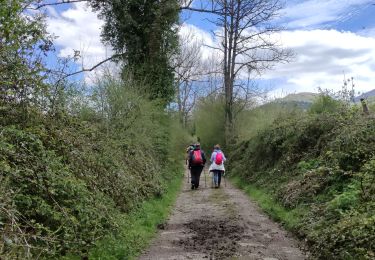
Tocht Stappen van 5,8 km beschikbaar op Nieuw-Aquitanië, Pyrénées-Atlantiques, Bilhères. Deze tocht wordt voorgesteld door rogerpoirier.
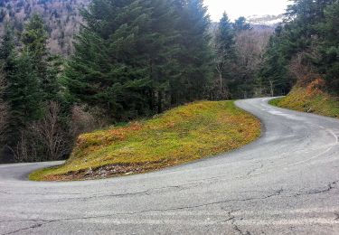
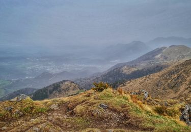
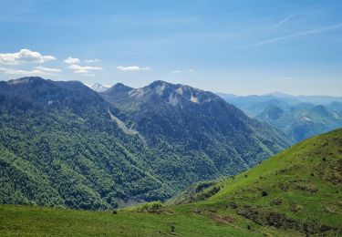
Une superbe vue mais au dessus de la mer de nuage qui nous permet d'identifier une quantité de sommes jusqu'au Pic de Midi de Bigorre, en passant par le ¨Pic de Ger au dessus de Gourette. Comme il avait plu, la montée, dans le brouillard, la croupe herbeuse, bien redressée, était assez glissante, nous sommes descendus par le sentier en pointillés sur la carte, un peu moins bien balisé, mais il y a parfois des poteaux.

Stappen
Te voet
Te voet
Te voet
Te voet
Te voet
Stappen
Stappen
Stappen