


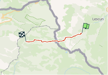

5,4 km | 7,4 km-effort


Tous les sentiers balisés d’Europe PRO


Gratisgps-wandelapplicatie
 SityTrail
IGN / Geografische instituten
SityTrail World
De wereld gaat voor u open
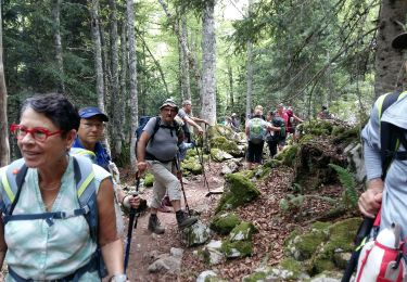
Tocht Te voet van 13,1 km beschikbaar op Nieuw-Aquitanië, Pyrénées-Atlantiques, Lescun. Deze tocht wordt voorgesteld door SityTrail - itinéraires balisés pédestres.
Trail created by Communauté de Communes du Haut-Béarn / Ayuntamiento de Ansó.
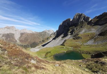
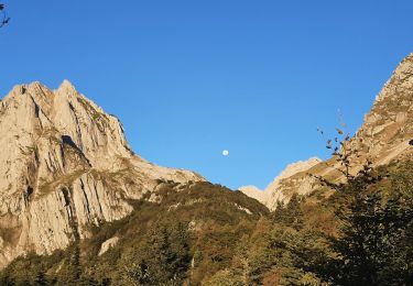
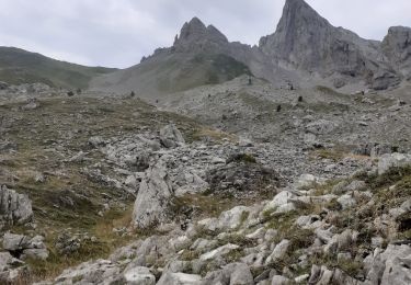
Randonnée difficile 6h00 aller simple - itinéraire transfrontalier
Symbol: bar
Website: https://umap.openstreetmap.fr/fr/map/sentiers-de-la-vallee-daspe_163874#13/42.8964/-0.7143


Stappen

Stappen
Te voet
Te voet
Stappen
Stappen
Stappen
Stappen
Stappen