


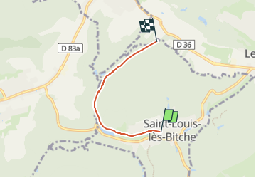

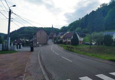
13,1 km | 17,5 km-effort

Tous les sentiers balisés d’Europe PRO


Gratisgps-wandelapplicatie
 SityTrail
IGN / Geografische instituten
SityTrail World
De wereld gaat voor u open
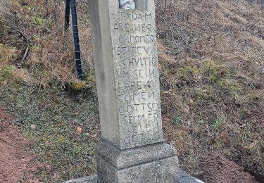
Tocht Te voet van 3,1 km beschikbaar op Grand Est, Moselle, Saint-Louis-lès-Bitche. Deze tocht wordt voorgesteld door SityTrail - itinéraires balisés pédestres.
Trail created by Club vosgien Lemberg.
Symbol: green diamond
Website: https://ignrando.fr/fr/parcours/28222-3713et-lemberg-10-losange-vert-saint-louis-centre-finsterbach-raccord-sur-disque-vert-pres-de-d36


Stappen
Te voet
Te voet
Te voet
Te voet
Te voet
Te voet
Te voet
Te voet