Tocht Stappen Fouquières-lès-Béthune - Le sentier des 2 riviéres -  Fouquières lez Béthune - Photo

Le sentier des 2 riviéres - Fouquières lez Béthune

 Blourouce
Blourouce

Gebruiker

© OpenStreetMap contributors
Lengte
Lengte
8,2 km
Max. hoogte
Max. hoogte
62 m
Positief hoogteverschil
56 m
Km-Effort
Km-Effort  
8,9 km
Min. hoogte
Min. hoogte
23 m
Negatief hoogteverschil
56 m
Boucle
Boucle
Ja
Datum van aanmaak :
2019-01-12 16:54:34.936
Laatste wijziging :
2019-04-24 08:37:16.61

(1 Bericht)

Stappen
Stappen
2h04
Moeilijkheid : Medium

Scan deze QR-code om de tocht te openen in de SityTrail-applicatie

Gratisgps-wandelapplicatie

Logo SityTrail SityTrail

IGN / Geografische instituten

SityTrail uit de App Store downloaden SityTrail uit Google Play downloaden

Logo SityTrail SityTrail World

De wereld gaat voor u open

SityTrail uit de App Store downloaden SityTrail uit Google Play downloaden SityTrail op Huawei AppGallery downloaden

Over ons

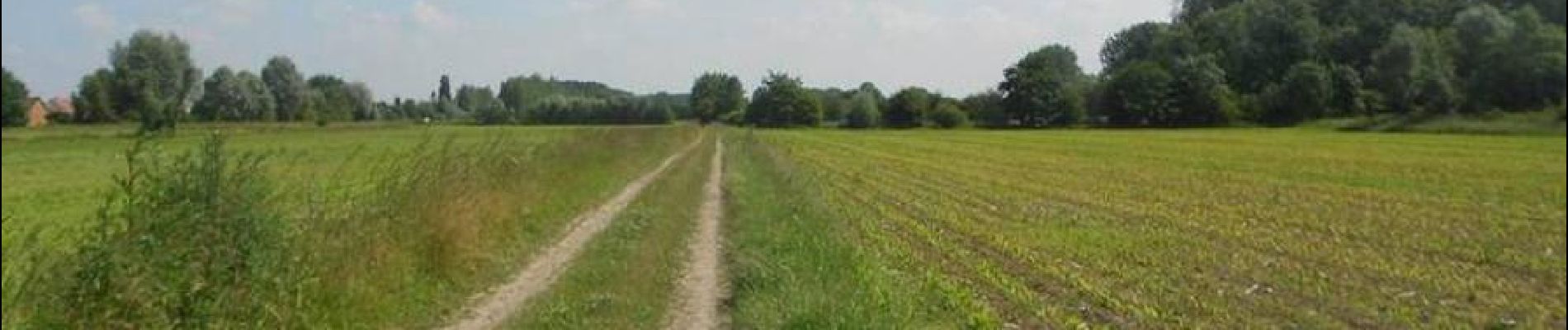
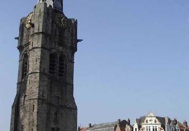
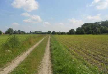
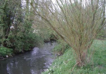
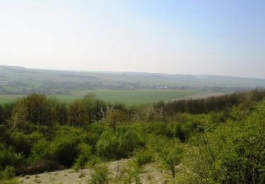
Tocht Stappen van 8,2 km beschikbaar op Hauts-de-France, Pas-de-Calais, Fouquières-lès-Béthune. Deze tocht wordt voorgesteld door Blourouce.

Hoogteprofiel

Plaatsbepaling

Land:
France
Regio :
Hauts-de-France
Departement/Provincie :
Pas-de-Calais
Gemeente :
Fouquières-lès-Béthune
Locatie:
Unknown
Vertrek:(Dec)
Vertrek:(UTM)
472316 ; 5596315 (31U) N.

Opmerkingen

Gelieve in te loggen om een commentaar of een beoordeling achter te laten


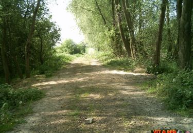
navigation aléatoire pour descendre du terril...


Wandeltochten in de omgeving

Tocht Stappen Béthune - Le sentier de Catorive. -  Béthune - Photo
Stappen
tracegps

Stappen

Medium
(2)
Béthune, Hauts-de-France, Pas-de-Calais, France
8,3 km | 9 km-effort
2h 0min
Ja
Tocht Stappen Béthune - Béthune - Photo
Stappen
Marie-Claire-mcp

Stappen

Heel gemakkelijk
Béthune, Hauts-de-France, Pas-de-Calais, France
5,6 km | 6,2 km-effort
2h 7min
Ja
Tocht Stappen Vaudricourt - Sentier des paysages - Vaudricourt - Photo
Stappen
tracegps

Stappen

Gemakkelijk
(2)
Vaudricourt, Hauts-de-France, Pas-de-Calais, France
6,4 km | 7 km-effort
1h 34min
Ja
Tocht Stappen Fouquières-lès-Béthune - Le sentier des 2 riviéres -  Fouquières lez Béthune - Photo
Stappen
tracegps

Stappen

Medium
Fouquières-lès-Béthune, Hauts-de-France, Pas-de-Calais, France
8,2 km | 8,9 km-effort
2h 4min
Ja
Tocht Stappen Lapugnoy - Le sentier d'Ecques -  Lapugnoy - Photo
Stappen
tracegps

Stappen

Medium
(3)
Lapugnoy, Hauts-de-France, Pas-de-Calais, France
12,1 km | 14,1 km-effort
3h 0min
Ja
Tocht Stappen Nœux-les-Mines - Noeux les mines  - Photo
Stappen
jpblimond

Stappen

Medium
Nœux-les-Mines, Hauts-de-France, Pas-de-Calais, France
18,9 km | 21 km-effort
4h 44min
Ja
Tocht Stappen Fouquereuil - Fouquereuil  8.1 km  - Photo
Stappen
Blourouce

Stappen

Medium
Fouquereuil, Hauts-de-France, Pas-de-Calais, France
7,8 km | 8,9 km-effort
2h 8min
Ja
Tocht Mountainbike Houchin - L'Houchinoise 2008 - Photo
Mountainbike
tracegps

Mountainbike

Medium
Houchin, Hauts-de-France, Pas-de-Calais, France
31 km | 35 km-effort
3h 0min
Ja
Tocht Mountainbike Annezin - Rando Busnes départ Annezin  - Photo
Mountainbike
tracegps

Mountainbike

Medium
Annezin, Hauts-de-France, Pas-de-Calais, France
45 km | 49 km-effort
3h 0min
Ja


Sluiten
Mijn abonnementen