


8,2 km | 11,4 km-effort

Gebruiker


Gratisgps-wandelapplicatie
 SityTrail
IGN / Geografische instituten
SityTrail World
De wereld gaat voor u open
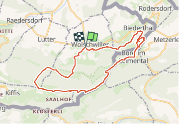
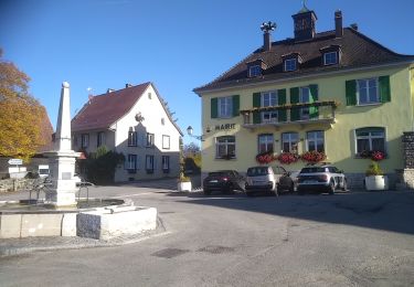
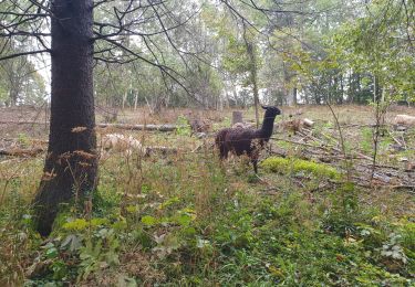
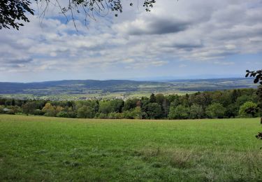
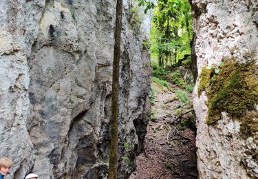
Tocht Stappen van 18,9 km beschikbaar op Grand Est, Haut-Rhin, Wolschwiller. Deze tocht wordt voorgesteld door boubou68.
Très belle rando....variante incluse qui mérite une nouvelle trace pour le canyon de Biederthal


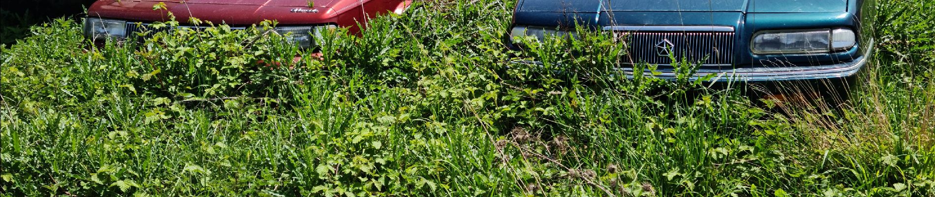
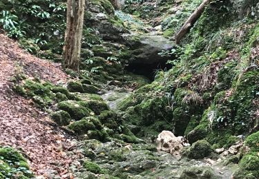
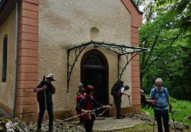
35 fotos in totaal. Klik op een foto om ze allemaal in de galerij weer te geven.
Stappen
Stappen
Stappen
Stappen
Stappen

Paard
Stappen

Paardrijden
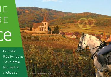
Paardrijden