


8,2 km | 11,4 km-effort

Utilisateur


Application GPS de randonnée GRATUITE
 SityTrail
IGN / Instituts géographiques
SityTrail World
Le monde est à vous
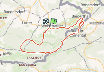
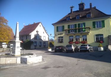
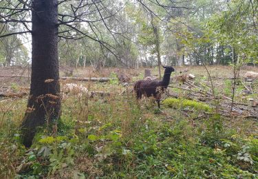
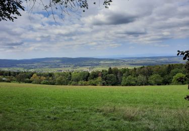
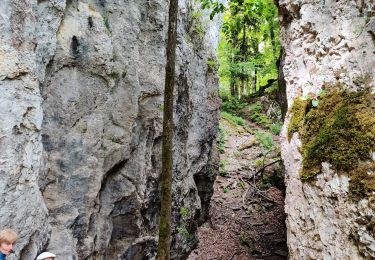
Randonnée Marche de 18,9 km à découvrir à Grand Est, Haut-Rhin, Wolschwiller. Cette randonnée est proposée par boubou68.
Très belle rando....variante incluse qui mérite une nouvelle trace pour le canyon de Biederthal


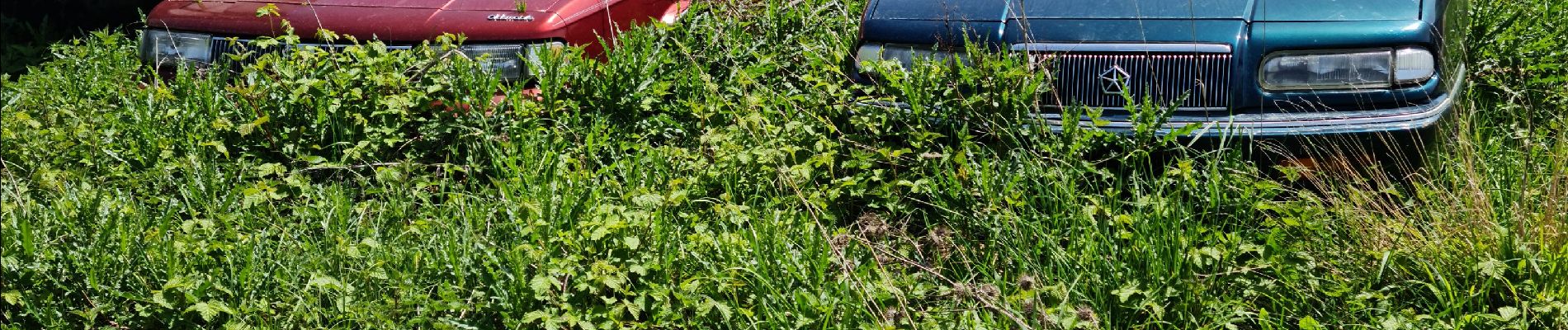
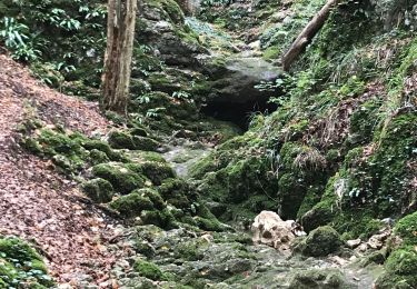
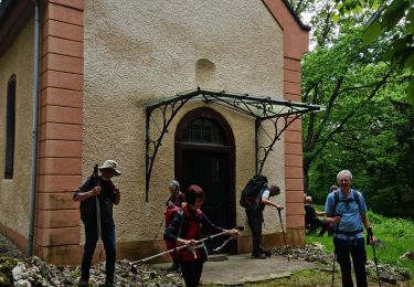
35 photos au total. Cliquez sur une photo pour les afficher toutes dans la galerie.
Marche
Marche
Marche
Marche
Marche

Cheval
Marche

Randonnée équestre
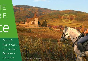
Randonnée équestre