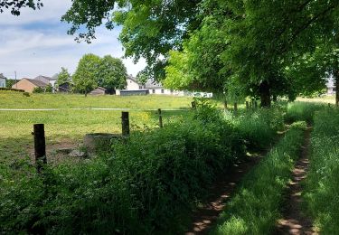
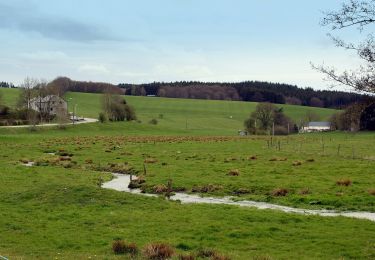
Tocht Stappen Bastenaken - RB-Lu-27_Lutrebois_Boucle-1 - Photo

RB-Lu-27_Lutrebois_Boucle-1

Randonnez sur et autour des GR ® wallons (Sentiers de Grande Randonnée). PRO

© OpenStreetMap contributors
Lengte
Lengte
18,4 km
Max. hoogte
Max. hoogte
530 m
Positief hoogteverschil
334 m
Km-Effort
Km-Effort  
23 km
Min. hoogte
Min. hoogte
411 m
Negatief hoogteverschil
334 m
Boucle
Boucle
Ja
Datum van aanmaak :
2019-08-07 07:20:31.145
Laatste wijziging :
2023-10-27 08:06:16.352

(0 Bericht)

Stappen
Stappen
5h03
Moeilijkheid : Onbekend

Scan deze QR-code om de tocht te openen in de SityTrail-applicatie

Gratisgps-wandelapplicatie

Logo SityTrail SityTrail

IGN / Geografische instituten

SityTrail uit de App Store downloaden SityTrail uit Google Play downloaden

Logo SityTrail SityTrail World

De wereld gaat voor u open

SityTrail uit de App Store downloaden SityTrail uit Google Play downloaden SityTrail op Huawei AppGallery downloaden

Over ons

Tocht Stappen van 18,4 km beschikbaar op Wallonië, Luxemburg, Bastenaken. Deze tocht wordt voorgesteld door GR Rando.

Beschrijving

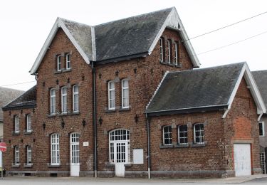
Point de départ : l’église de Lutrebois.
Accès :
[voiture] Coordonnées GPS : 49° 57' 31.5" N ; 5° 43' 57.7" E.
Transports en commun [TEC] arrêt Lutrebois-Église. Nombreux arrêts à Bastogne.

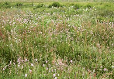
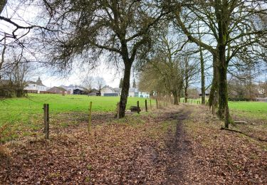
Cette RB campagnarde et forestière dessine d’agréables points de vue sur un plateau aux multiples ondulations, notamment par des lieux où se déroulèrent des évènements dramatiques durant l’hiver 1944-1945.  Au départ de Lutrebois, deux boucles formant un 8 peuvent être parcourues en un ou deux jours. Boucle 1 ; boucle 2

Foto's

POI's

POI Bastenaken - RB-Lu-27-POI-01_Lutrebois - Photo
GR Rando
POI Vaux-sur-Sûre - RB-Lu-27-POI-02_Voie romaine - Photo
GR Rando
POI Vaux-sur-Sûre - RB-Lu-27-POI-03_Mémoire civile - Photo
GR Rando
POI Fauvillers - RB-Lu-27-POI-04_Ermitage - Photo
GR Rando

Plaatsbepaling

Land:
Belgium
Regio :
Wallonië
Departement/Provincie :
Luxemburg
Gemeente :
Bastenaken
Locatie:
Unknown
Vertrek:(UTM)
695999 ; 5537625 (31U) N.

Wandeltochten in de omgeving

Tocht Stappen Vaux-sur-Sûre - Hompré. Natura 2000, des sites qui valent le détour. Lx8 - Photo
Stappen
GUIDE+

Stappen

Gemakkelijk
(5)
Vaux-sur-Sûre, Wallonië, Luxemburg, Belgium
8,2 km | 10,3 km-effort
2h 12min
Ja
Tocht Te voet Bastenaken - Promenade de Sans-souci - Photo
Te voet
PRO

Te voet

Gemakkelijk
Bastenaken, Wallonië, Luxemburg, Belgium
10 km | 11,7 km-effort
2h 40min
Ja
Tocht Stappen Bastenaken - RB-Lu-27_Lutrebois - Photo
Stappen
PRO

Stappen

Heel gemakkelijk
Bastenaken, Wallonië, Luxemburg, Belgium
31 km | 39 km-effort
8h 27min
Ja
Tocht Stappen Bastenaken - RB-Lu-27_Lutrebois_Boucle-2 - Photo
Stappen
PRO

Stappen

Heel gemakkelijk
Bastenaken, Wallonië, Luxemburg, Belgium
21 km | 26 km-effort
5h 4min
Ja
Tocht Stappen Bastenaken - Lutrebois 150224 - Photo
Stappen
guyernage25

Stappen

Gemakkelijk
Bastenaken, Wallonië, Luxemburg, Belgium
16,4 km | 21 km-effort
3h 54min
Ja
Tocht Stappen Bastenaken - Lutrebois 030622 - Photo
Stappen
guyernage25

Stappen

Medium
Bastenaken, Wallonië, Luxemburg, Belgium
18,8 km | 23 km-effort
4h 40min
Ja
Tocht Te voet Vaux-sur-Sûre - Promenade des Écureuils - Photo
Te voet
PRO

Te voet

Gemakkelijk
Vaux-sur-Sûre, Wallonië, Luxemburg, Belgium
12,2 km | 15,3 km-effort
3h 28min
Ja
Tocht Te voet Bastenaken - La Betlange - Photo
Te voet
GUIDE+

Te voet

Gemakkelijk
(1)
Bastenaken, Wallonië, Luxemburg, Belgium
9,6 km | 13 km-effort
2h 57min
Ja
Tocht Te voet Bastenaken - Sans souci - Photo
Te voet
GUIDE+

Te voet

Gemakkelijk
Bastenaken, Wallonië, Luxemburg, Belgium
10 km | 11,7 km-effort
2h 39min
Ja


Sluiten
Mijn abonnementen