


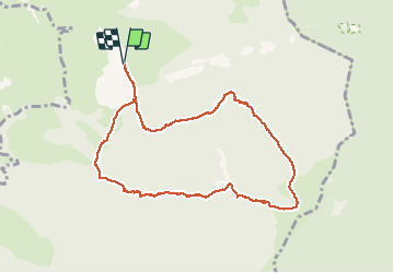

5,3 km | 7,4 km-effort


Gebruiker


Gratisgps-wandelapplicatie
 SityTrail
IGN / Geografische instituten
SityTrail World
De wereld gaat voor u open
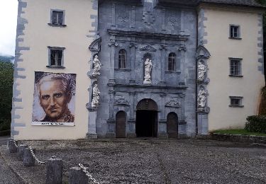
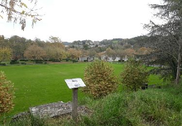
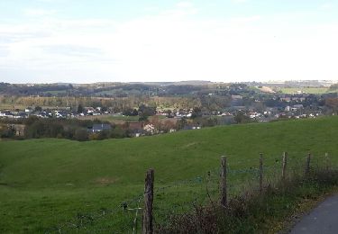
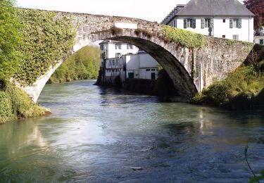
Tocht Stappen van 9,9 km beschikbaar op Nieuw-Aquitanië, Pyrénées-Atlantiques, Asson. Deze tocht wordt voorgesteld door jysc238.
Départ depuis les carrières d'Asson.
Te voet

Stappen
Stappen
Te voet
Stappen
Stappen
Stappen
Stappen
Stappen