


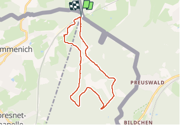


9,6 km | 12,1 km-effort

Benutzer GUIDE


Kostenlosegpshiking-Anwendung
 SityTrail
IGN / Geografische Institute
SityTrail World
Die Welt öffnet sich für Sie
Tour Wandern von 7,4 km verfügbar auf Wallonien, Lüttich, Kelmis. Diese Tour wird von pierreh01 vorgeschlagen.
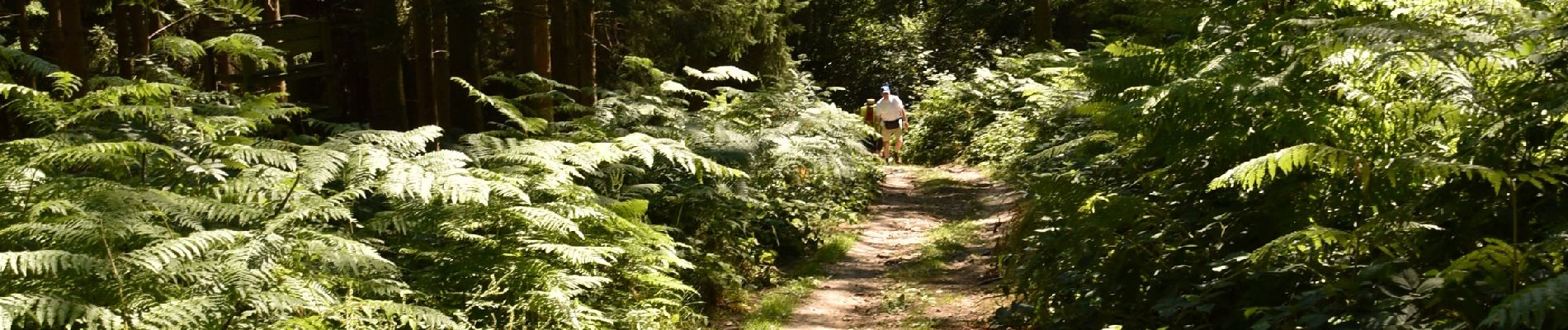
Très jolie promenade, sous le soleil, dans les bois et bosquets avec seulement 100 mètres de route macadamisée.
Quelques dénivelés d'importance à gravir à son rythme.
Final digne de sentier de montagne pour arriver.


Wandern

Wandern

Wandern
Wandern

Wandern

Wandern

Wandern

Wandern

Wandern