


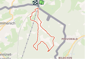


9,6 km | 12,1 km-effort

Utilisateur GUIDE


Application GPS de randonnée GRATUITE
 SityTrail
IGN / Instituts géographiques
SityTrail World
Le monde est à vous
Randonnée Marche de 7,4 km à découvrir à Wallonie, Liège, La Calamine. Cette randonnée est proposée par pierreh01.
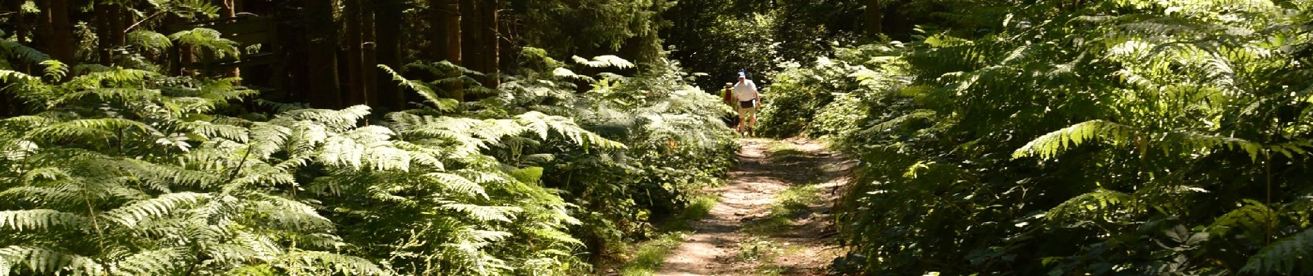
Très jolie promenade, sous le soleil, dans les bois et bosquets avec seulement 100 mètres de route macadamisée.
Quelques dénivelés d'importance à gravir à son rythme.
Final digne de sentier de montagne pour arriver.


Marche

Marche

Marche
Marche

Marche

Marche

Marche

Marche

Marche