


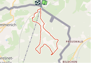


9.6 km | 12.1 km-effort

User GUIDE


FREE GPS app for hiking
 SityTrail
IGN / Geographical institutes
SityTrail World
The world is yours!
Trail Walking of 7.4 km to be discovered at Wallonia, Liège, Kelmis. This trail is proposed by pierreh01.
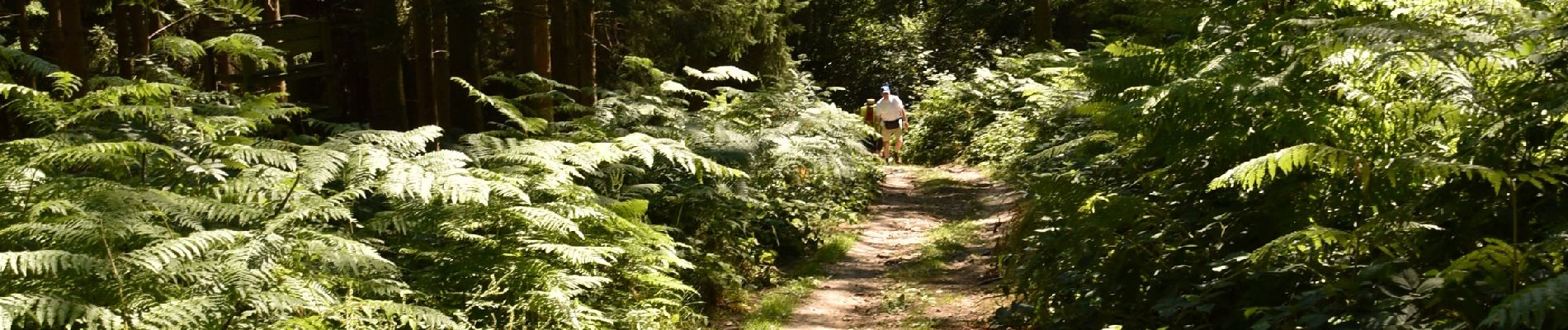
Très jolie promenade, sous le soleil, dans les bois et bosquets avec seulement 100 mètres de route macadamisée.
Quelques dénivelés d'importance à gravir à son rythme.
Final digne de sentier de montagne pour arriver.


Walking

Walking

Walking
Walking


Walking

Walking

Walking

Walking