


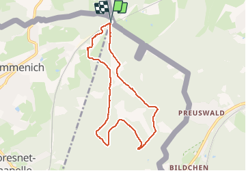


9,6 km | 12,1 km-effort

Usuario GUIDE


Aplicación GPS de excursión GRATIS
 SityTrail
IGN / Institutos geográficos
SityTrail World
El mundo es suyo
Ruta Senderismo de 7,4 km a descubrir en Valonia, Lieja, Kelmis. Esta ruta ha sido propuesta por pierreh01.
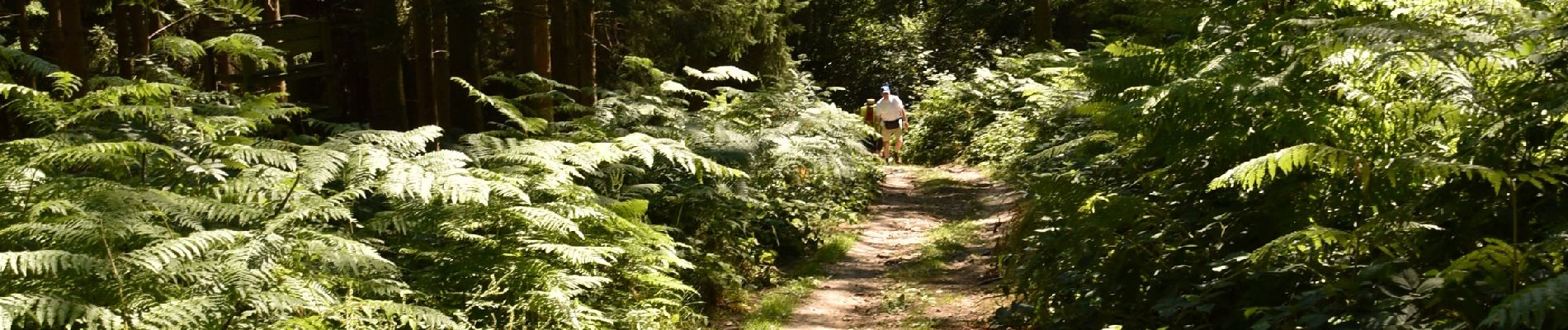
Très jolie promenade, sous le soleil, dans les bois et bosquets avec seulement 100 mètres de route macadamisée.
Quelques dénivelés d'importance à gravir à son rythme.
Final digne de sentier de montagne pour arriver.


Senderismo

Senderismo

Senderismo
Senderismo

Senderismo

Senderismo

Senderismo

Senderismo

Senderismo