


13.3 km | 16.5 km-effort
Orne: Discover the best trails: 3 geocaching. All these trails, routes and outdoor activities are available in our SityTrail applications for smartphones and tablets.
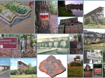
Geocaching


Geocaching
Geocaching

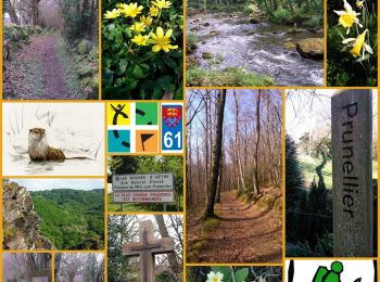
Other activity
• Mi route mi chemin, accessible aux cyclo-cross où gravel
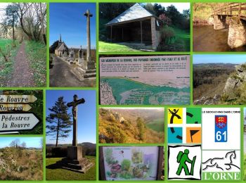
Other activity
• Mi route, mi chemin
Other activity
Other activity
• Sortie Gravel (mi route / mi chemin)
Other activity
Other activity
Other activity
Other activity
Other activity
Other activity
Other activity
Other activity
Other activity
Other activity
Other activity
Other activity
•
Other activity
20 trails displayed on 47
FREE GPS app for hiking
 SityTrail
IGN / Geographical institutes
SityTrail World
The world is yours!