


13.8 km | 33 km-effort
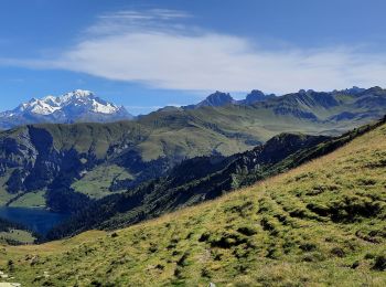
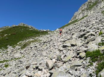
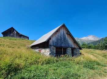
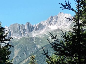
La Léchère: Discover the best trails: 83 hiking trails and 11 bike and mountain-bike routes. All these trails, routes and outdoor activities are available in our SityTrail applications for smartphones and tablets.
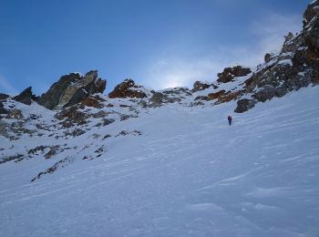
Touring skiing


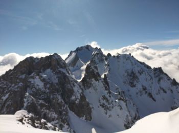
Touring skiing
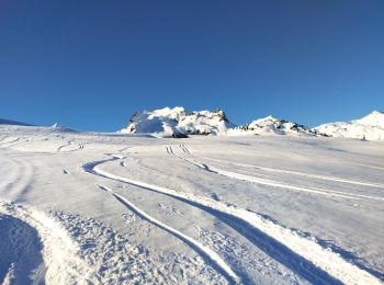
Touring skiing
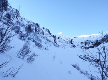
Touring skiing
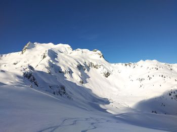
Touring skiing
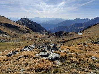
Walking
Walking
Walking
Walking
Walking
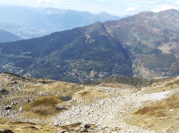
On foot
On foot
On foot
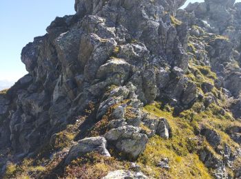
Walking
Walking
Walking
Snowshoes
Touring skiing
Touring skiing
Touring skiing
20 trails displayed on 170
FREE GPS app for hiking
 SityTrail
IGN / Geographical institutes
SityTrail World
The world is yours!