Griesbach-au-Val, Haut-Rhin: Best trails, routes and walks

Griesbach-au-Val: Discover the best trails: 4 hiking trails and 2 bike and mountain-bike routes. All these trails, routes and outdoor activities are available in our SityTrail applications for smartphones and tablets.


The best trails (6)
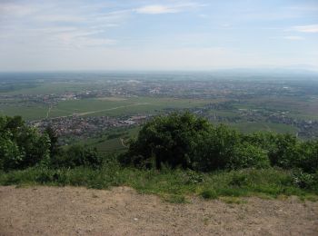
Trail Mountain bike Griesbach-au-Val - De Griesbach au Hohlandsbourg - Photo
Mountain bike 29.276
Km

Mountain bike

Difficult
Griesbach-au-Val, Grand Est, Haut-Rhin, France
29 km | 41 km-effort
2h 45min
885 m
889 m
Yes
tracegps

Trail On foot Griesbach-au-Val - de la vallée de Munster à la vallée de Thann en passant par les deux ballons - Photo
On foot 39.881
Km

On foot

Medium
Griesbach-au-Val, Grand Est, Haut-Rhin, France
40 km | 67 km-effort
12h 30min
2073 m
2048 m
No
senn francis

Trail Walking Griesbach-au-Val - rdpr griesbach au val 2020 - Photo
Walking 7.566
Km
GUIDE

Walking

Medium
Griesbach-au-Val, Grand Est, Haut-Rhin, France
7.6 km | 11.4 km-effort
2h 7min
287 m
278 m
Yes
stempfel52

Trail Walking Griesbach-au-Val - Petit Ballon - Photo
Walking 29.34
Km

Walking

Medium
Griesbach-au-Val, Grand Est, Haut-Rhin, France
29 km | 46 km-effort
9h 29min
1261 m
1204 m
No
edouard_bieber

Trail Walking Griesbach-au-Val - 2021-07-27_20h46m22_11-Griesbach-au-Val-Schwartzenbourg - Photo
Walking 6.063
Km

Walking

Medium
Griesbach-au-Val, Grand Est, Haut-Rhin, France
6.1 km | 9.5 km-effort
11min
255 m
257 m
Yes
geranimo

Trail Cycle Griesbach-au-Val - 2011-05-22 12h18m50Mikes - Photo
Cycle 14.075
Km

Cycle

Medium
Griesbach-au-Val, Grand Est, Haut-Rhin, France
14.1 km | 21 km-effort
Unknown
542 m
361 m
No
MIKED68

6 trails displayed on 6

FREE GPS app for hiking

Logo SityTrail SityTrail

IGN / Geographical institutes

Download SityTrail from the App Store Download SityTrail from Google Play

Logo SityTrail SityTrail World

The world is yours!

Download SityTrail from the App Store Download SityTrail from Google Play Download SityTrail on Huawei AppGallery

Activities

Close
My subscriptions