


17.2 km | 33 km-effort
Villar-Saint-Pancrace: Discover the best trails: 33 hiking trails and 4 bike and mountain-bike routes. All these trails, routes and outdoor activities are available in our SityTrail applications for smartphones and tablets.
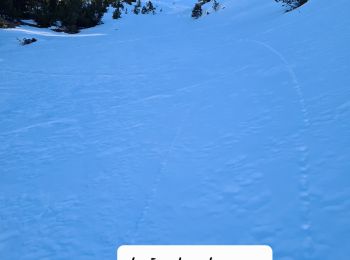
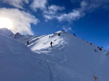
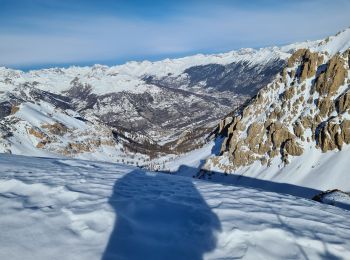
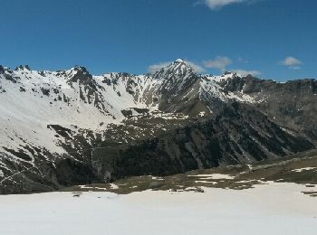
Touring skiing


Touring skiing
Touring skiing
Touring skiing
Other activity
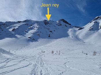
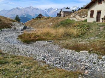
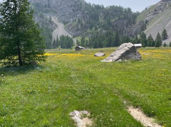
• Villar st Pancrase les Ayes lac dOrceyrette se garer au plus haut sur la route en direction des chalets d'Orceyrett...
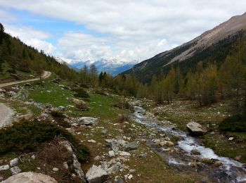
Walking
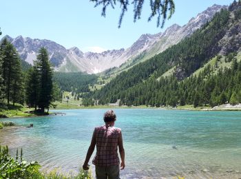
• Briançonnais - boucle à partir de Chalets des Ayes
Walking
Touring skiing
Walking
Walking
Walking
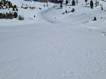
Snowshoes
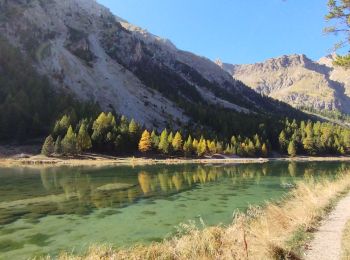
Walking

Walking
Walking
Walking
Walking
Walking

Winter sports
•

Snowshoes
20 trails displayed on 55
FREE GPS app for hiking
 SityTrail
IGN / Geographical institutes
SityTrail World
The world is yours!