


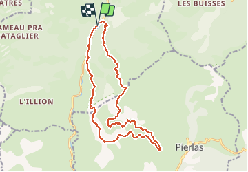

4.3 km | 6.6 km-effort


User


FREE GPS app for hiking
 SityTrail
IGN / Geographical institutes
SityTrail World
The world is yours!
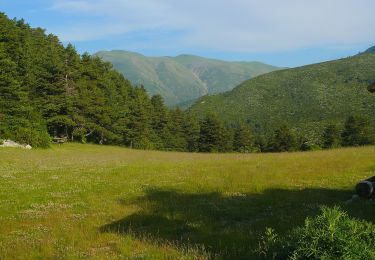
Trail Walking of 18.8 km to be discovered at Provence-Alpes-Côte d'Azur, Maritime Alps, Beuil. This trail is proposed by fredopaca.
depart balise 67

Snowshoes
On foot
On foot

On foot
On foot
On foot

Snowshoes
Walking

Walking
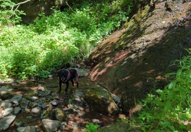
Très bonne randonnée faite dans l autre sens. Très jolies paysages.. Le pont de l abbé est juste à côté d une maison en ruine à environ 900 m du départ de la randonnée..