


9.2 km | 12.7 km-effort
Allons: Discover the best trails: 11 hiking trails and 1 bike and mountain-bike routes. All these trails, routes and outdoor activities are available in our SityTrail applications for smartphones and tablets.
Walking


Walking
• montée en zigzag très bien faite, donc possible d'y maintenir un bon rythme, vue panoramique de tlut côté une fois ar...
Walking
Walking

Walking
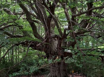
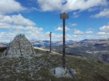
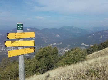
• montée dans une magnifique hêtraie, puis long passage sur la crête jusqu'au pic, avec tout du long un superbe panoram...
Walking
• montée dans une magnifique hêtraie, puis long passage sur la crête jusqu'au pic, avec tout du long un superbe panoram...
Running

Walking

Mountain bike
Walking
Walking

On foot
12 trails displayed on 12
FREE GPS app for hiking
 SityTrail
IGN / Geographical institutes
SityTrail World
The world is yours!