


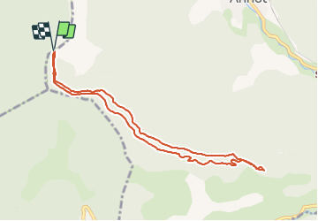

5.9 km | 10.9 km-effort

User


FREE GPS app for hiking
 SityTrail
IGN / Geographical institutes
SityTrail World
The world is yours!
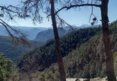
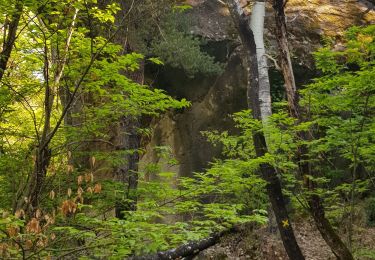
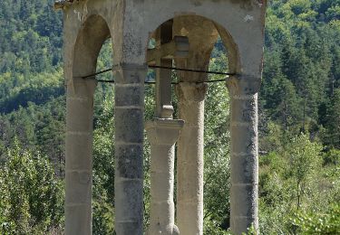
Trail Walking of 9.2 km to be discovered at Provence-Alpes-Côte d'Azur, Alpes-de-Haute-Provence, Allons. This trail is proposed by Marchopier.
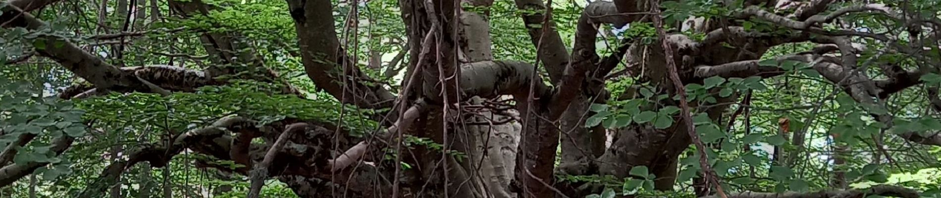
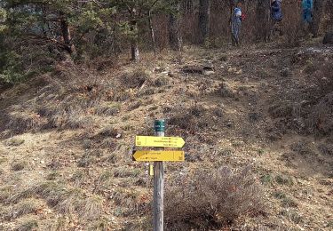
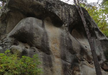
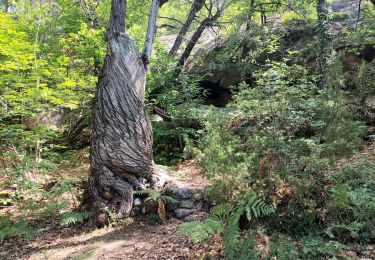
Depuis le parking de Colle Basse ,cheminer vers les Roches de Rouaine en suivat les panneaux , jusqu'à découvrie le panneau qui indique l'arbre remarqauble


On foot
Walking

Walking
Walking
Walking
Walking
Walking
Walking
On foot