


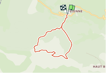


3.8 km | 5.5 km-effort


User


FREE GPS app for hiking
 SityTrail
IGN / Geographical institutes
SityTrail World
The world is yours!
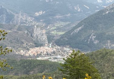
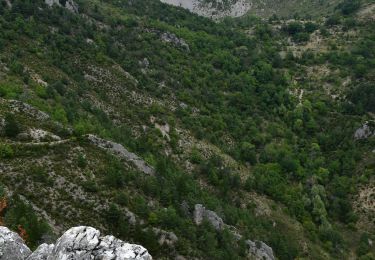
Trail Walking of 7.8 km to be discovered at Provence-Alpes-Côte d'Azur, Alpes-de-Haute-Provence, Castellane. This trail is proposed by RayFab.
Belle randonnée. Nous avons fait la rando par la droite : montée plus courte mais un peu plus raide, pas de difficulté particulière.
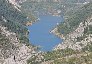
Nous avons pu observer les bouquetins et des vautours. Superbe vue sur le Verdon. Photos pas très belles car il y avait de la brume.


22 photos in total. Please click on a photo to see them all in the gallery.

Walking

Walking

Walking
Mountain bike
Walking
Walking
Walking
Walking

Walking