


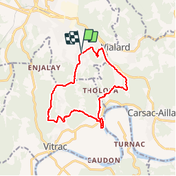

12.9 km | 17.3 km-effort

User


FREE GPS app for hiking
 SityTrail
IGN / Geographical institutes
SityTrail World
The world is yours!
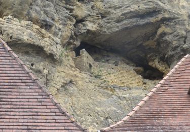
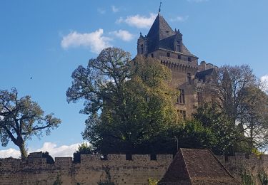
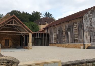
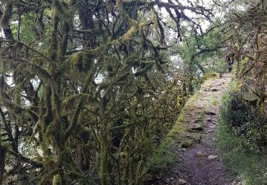
Trail Walking of 13.7 km to be discovered at New Aquitaine, Dordogne, Sarlat-la-Canéda. This trail is proposed by amelie14.
Parcours par Monfort.


Walking
On foot

Walking
Walking
Walking
Walking
Walking
Walking
Walking
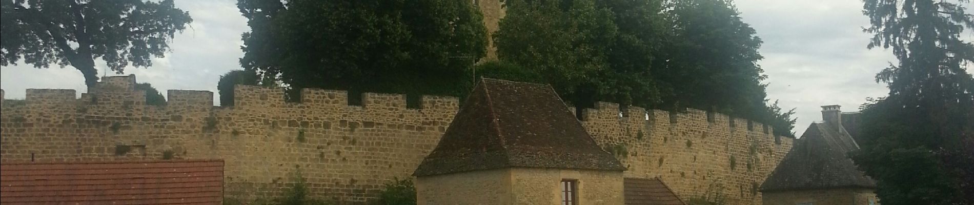
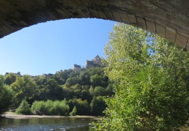
magnifique randonnée la traversée du village de Monfort vaut le détour