


11.4 km | 26 km-effort
Eaux-Bonnes: Discover the best trails: 78 hiking trails and 1 bike and mountain-bike routes. All these trails, routes and outdoor activities are available in our SityTrail applications for smartphones and tablets.
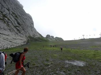
Walking


On foot
• Trail created by Communauté de Communes de la Vallée d'Ossau. Symbol: Trait jaune Website: https://www.valleedossa...
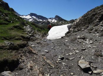
On foot
• Trail created by Communauté de Communes de la Vallée d'Ossau. Symbol: Trait jaune Website: https://www.valleedossa...
On foot
• Trail created by Communauté de Communes de la Vallée d'Ossau. Symbol: Trait jaune Website: https://www.valleedossa...
On foot
• Trail created by Communauté de Communes de la Vallée d’Ossau. Symbol: Trait jaune Website: https://www.valleedossa...
Walking
Walking
Walking
Walking

Walking
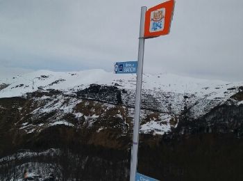
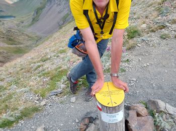
Snowshoes
• depuis la station de ski de Gourette - parking gratuit avant la station et prendre les télécabine (gratuit) pour le d...
Other activity
• Liaison par le proprio de l'hôtel jusqu'à La station de Ski. Vraiment un très raid dans les Pyrénées.
Running
Walking
Walking
Walking
Walking
Walking
Walking
Walking
20 trails displayed on 88
FREE GPS app for hiking
 SityTrail
IGN / Geographical institutes
SityTrail World
The world is yours!