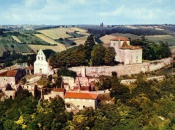
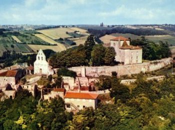
Clermont-Soubiran, Lot-et-Garonne: Best trails, routes and walks

2 comments

Clermont-Soubiran: Discover the best trails: 14 hiking trails, 6 bike and mountain-bike routes and 1 equestrian circuits. All these trails, routes and outdoor activities are available in our SityTrail applications for smartphones and tablets.


The best trails (21)
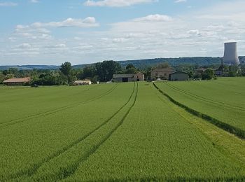
Trail Walking Clermont-Soubiran - Coteaux depuis maison Roiatti  - Photo
Walking 4.144
Km

Walking

Medium
Clermont-Soubiran, New Aquitaine, Lot-et-Garonne, France
4.1 km | 5.5 km-effort
1h 7min
105 m
104 m
Yes
jlc12

Trail Walking Clermont-Soubiran - coupet autour de labro - Photo
Walking 11.485
Km

Walking

Medium
(2)
Clermont-Soubiran, New Aquitaine, Lot-et-Garonne, France
11.5 km | 14.7 km-effort
3h 11min
241 m
241 m
Yes
jlc12

Trail Walking Clermont-Soubiran - Les Acacias-Ebrard-Labro - Photo
Walking 3.617
Km

Walking

Difficult
Clermont-Soubiran, New Aquitaine, Lot-et-Garonne, France
3.6 km | 4.9 km-effort
1h 25min
90 m
105 m
No
jlc12

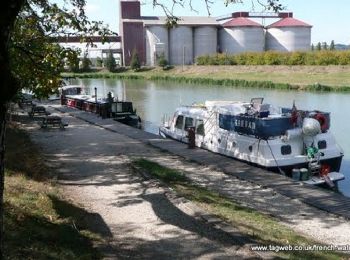
Trail Cycle Clermont-Soubiran - Voie Verte du Canal de Garonne - Laspeyres - Meilhan sur Garonne  - Photo
Cycle 88.16
Km

Cycle

Medium
Clermont-Soubiran, New Aquitaine, Lot-et-Garonne, France
88 km | 98 km-effort
4h 30min
697 m
724 m
No
tracegps

Trail Mountain bike Clermont-Soubiran - Clermont-Soubiran, des coteaux du Pays de Serres au Canal de Garonne - Pays de l'Agenais - Photo
Mountain bike 21.468
Km

Mountain bike

Difficult
Clermont-Soubiran, New Aquitaine, Lot-et-Garonne, France
21 km | 27 km-effort
2h 49min
402 m
404 m
Yes
tracegps

Trail Walking Clermont-Soubiran - Clermont-Soubiran, des coteaux du Pays de Serres au Canal de Garonne - Pays de l'Agenais - Photo
Walking 21.468
Km

Walking

Difficult
Clermont-Soubiran, New Aquitaine, Lot-et-Garonne, France
21 km | 27 km-effort
5h 45min
402 m
404 m
Yes
tracegps

Trail Mountain bike Clermont-Soubiran - Clermont-Soubiran, vers la chapelle d'Aureillac - Pays de l'Agenais - Photo
Mountain bike 7.001
Km

Mountain bike

Medium
Clermont-Soubiran, New Aquitaine, Lot-et-Garonne, France
7 km | 9.9 km-effort
49min
218 m
216 m
Yes
tracegps

Trail Walking Clermont-Soubiran - Clermont-Soubiran, vers la chapelle d'Aureillac - Pays de l'Agenais - Photo
Walking 7.001
Km

Walking

Medium
Clermont-Soubiran, New Aquitaine, Lot-et-Garonne, France
7 km | 9.9 km-effort
1h 49min
218 m
216 m
Yes
tracegps

Trail Equestrian Clermont-Soubiran - Clermont-Soubiran, aux portes du Tarn-et-Garonne - Pays de l'Agenais - Photo
Equestrian 9.178
Km

Equestrian

Medium
Clermont-Soubiran, New Aquitaine, Lot-et-Garonne, France
9.2 km | 11.7 km-effort
1h 34min
185 m
187 m
Yes
tracegps

Trail Mountain bike Clermont-Soubiran - Clermont-Soubiran, aux portes du Tarn-et-Garonne - Pays de l'Agenais - Photo
Mountain bike 9.178
Km

Mountain bike

Medium
Clermont-Soubiran, New Aquitaine, Lot-et-Garonne, France
9.2 km | 11.7 km-effort
1h 10min
185 m
187 m
Yes
tracegps

Trail Walking Clermont-Soubiran - Clermont-Soubiran, aux portes du Tarn-et-Garonne - Pays de l'Agenais - Photo
Walking 9.178
Km

Walking

Medium
Clermont-Soubiran, New Aquitaine, Lot-et-Garonne, France
9.2 km | 11.7 km-effort
2h 30min
185 m
187 m
Yes
tracegps

Trail Walking Clermont-Soubiran - CDT47-tfinal-ClermontSoubiranCanal-2013 - Photo
Walking 19.214
Km

Walking

Very difficult
Clermont-Soubiran, New Aquitaine, Lot-et-Garonne, France
19.2 km | 24 km-effort
6h 7min
395 m
396 m
Yes
jab31

Trail Walking Clermont-Soubiran - CDT47-tfinal-ClermontSoubiranCanal-2013 - Photo
Walking 21.553
Km

Walking

Very difficult
Clermont-Soubiran, New Aquitaine, Lot-et-Garonne, France
22 km | 27 km-effort
6h 7min
403 m
404 m
Yes
jab31

Trail Walking Clermont-Soubiran - Coupet Barguelonne est - Photo
Walking 3.752
Km

Walking

Easy
Clermont-Soubiran, New Aquitaine, Lot-et-Garonne, France
3.8 km | 4.1 km-effort
52min
24 m
24 m
Yes
jlc12

Trail Walking Clermont-Soubiran - clermont - Photo
Walking 7.335
Km

Walking

Medium
Clermont-Soubiran, New Aquitaine, Lot-et-Garonne, France
7.3 km | 10.2 km-effort
2h 19min
212 m
225 m
Yes
bingo1231

Trail Road bike Clermont-Soubiran - Coupet Moulin de Malais Canal  - Photo
Road bike 11.819
Km

Road bike

Easy
Clermont-Soubiran, New Aquitaine, Lot-et-Garonne, France
11.8 km | 12.9 km-effort
52min
83 m
81 m
Yes
jlc12

Trail Walking Clermont-Soubiran - 47_Clermont Soubiran_prereco - Photo
Walking 22.415
Km

Walking

Difficult
Clermont-Soubiran, New Aquitaine, Lot-et-Garonne, France
22 km | 28 km-effort
5h 20min
417 m
414 m
Yes
jab31

Trail Walking Clermont-Soubiran - Coupet jeaufroi - Photo
Walking 11.7
Km

Walking

Difficult
Clermont-Soubiran, New Aquitaine, Lot-et-Garonne, France
11.7 km | 15.1 km-effort
2h 48min
267 m
217 m
No
jlc12

Trail Road bike Clermont-Soubiran - Coupet Labro Moulin de Malais Canal - Photo
Road bike 11.039
Km

Road bike

Easy
Clermont-Soubiran, New Aquitaine, Lot-et-Garonne, France
11 km | 12.1 km-effort
45min
81 m
80 m
Yes
jlc12

Trail Walking Clermont-Soubiran - Autour de Clermont 2 - Photo
Walking 7.948
Km

Walking

Medium
Clermont-Soubiran, New Aquitaine, Lot-et-Garonne, France
7.9 km | 10.6 km-effort
1h 49min
197 m
200 m
Yes
jlc12

20 trails displayed on 21

FREE GPS app for hiking

Logo SityTrail SityTrail

IGN / Geographical institutes

Download SityTrail from the App Store Download SityTrail from Google Play

Logo SityTrail SityTrail World

The world is yours!

Download SityTrail from the App Store Download SityTrail from Google Play Download SityTrail on Huawei AppGallery

Activities

Close
My subscriptions