


12.7 km | 15.4 km-effort


User


FREE GPS app for hiking
 SityTrail
IGN / Geographical institutes
SityTrail World
The world is yours!
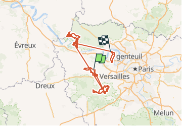
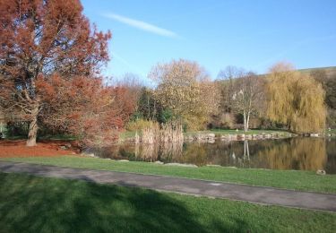
Trail Mountain bike of 356 km to be discovered at Ile-de-France, Yvelines, Beynes. This trail is proposed by tracegps.
15éme Randonnée des 2 forêts. Le récit et les photos de Pédalator sont ICI


Walking
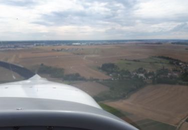
Plane
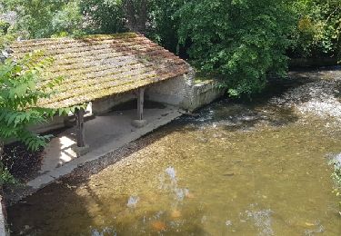
Walking
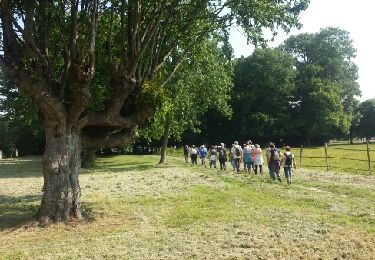
Walking
Walking

Walking

Mountain bike
Mountain bike

Mountain bike