


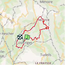


23 km | 34 km-effort

User


FREE GPS app for hiking
 SityTrail
IGN / Geographical institutes
SityTrail World
The world is yours!
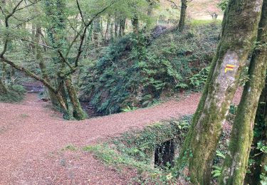
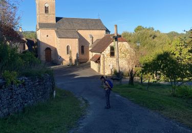
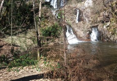
Trail Mountain bike of 14.1 km to be discovered at New Aquitaine, Corrèze, Lostanges. This trail is proposed by sdroneau.
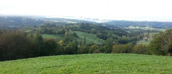
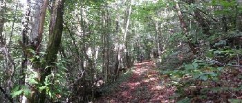
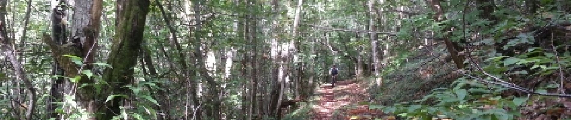
Au départ du parking de l'église de Lostanges, cette randonnée vtt offre un dénivelé assez important sur un petit linéaire. De très jolies descentes et des montées difficiles mais sans portage. Une balade à faire plutôt en été lorsque les chemins sont secs...


Mountain bike
Mountain bike
Mountain bike
Walking
Walking
Walking
Walking
Walking

Walking