


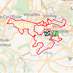

11.9 km | 14 km-effort

User


FREE GPS app for hiking
 SityTrail
IGN / Geographical institutes
SityTrail World
The world is yours!
Trail Mountain bike of 61 km to be discovered at Ile-de-France, Yvelines, Jouy-en-Josas. This trail is proposed by tracegps.
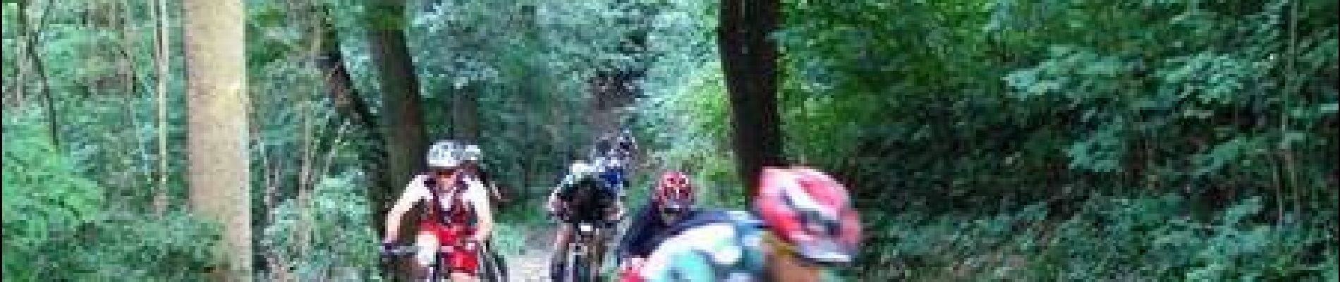
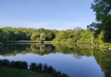
11 Juin 2006 Un petit kilomètre de rues, puis on entre sur le sentier qui longe le centre équestre, on était revenus par ici l'an dernier. On roule tranquille mais bon train entre les hautes herbes qui encadrent ce sentier, le sol est sec et bien dur, Antoine donne le rythme. Au bout de 1.5km de sentier en droite ligne, on oblique à gauche et on remonte une petite rue vers Vauboyen.Kilomètre 2.7 le bitume laisse la place à un chemin qui grimpe un peu plus et nous fait entrer dans le sous-bois.... La suite du récit et d'autres photos ICI


Walking

Walking

Walking

Walking

Walking

Walking
Walking
Walking
Walking