


13 km | 18.5 km-effort

User


FREE GPS app for hiking
 SityTrail
IGN / Geographical institutes
SityTrail World
The world is yours!
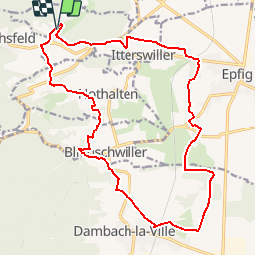
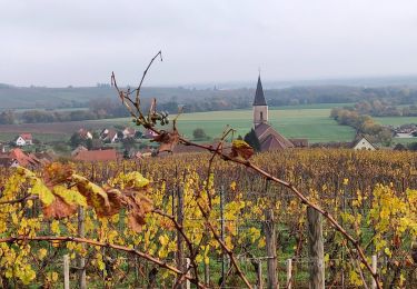
Trail Mountain bike of 19.9 km to be discovered at Grand Est, Bas-Rhin, Bernardvillé. This trail is proposed by tracegps.
Circuit vous emmenant dans les vignes d'Itterswiller et d'Epfig en passant par Dambach-la-Ville. Pas de difficultés. Toutes les infos et une carte détaillée sont ICI


Walking

Walking
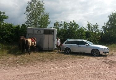
Equestrian
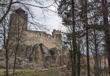
Walking
Horseback riding

Walking

Walking
Walking
Walking