


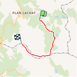

11.2 km | 22 km-effort

User


FREE GPS app for hiking
 SityTrail
IGN / Geographical institutes
SityTrail World
The world is yours!
Trail Walking of 7.3 km to be discovered at Auvergne-Rhône-Alpes, Savoy, Valloire. This trail is proposed by tracegps.
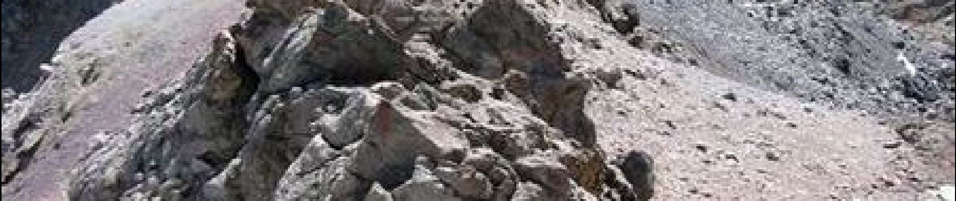
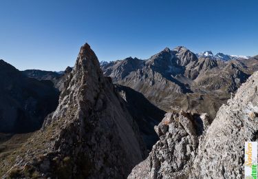
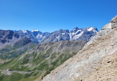
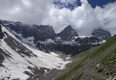
Un sommet assez facile, aux apparences redoutables, varié, peu fréquenté et très esthétique, entre Ecrins et Mont Blanc. Il y a une vie après le vélo autour du col du Galibier… Dans ces étendues sauvages, entre Maurienne et Briançonnais, lorsque la caravane du tour a déserté les lieux, entraînant avec elle sa horde de campings car, on se retrouve bien vite tranquille. Et les voitures que l’on croise ne sont que de passage..... Retrouvez la suite avec des descriptions importantes et de magnifiques photos sur Montagne Cool


Walking
Walking

Walking
Walking
Walking

Walking
Walking
Walking
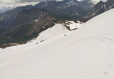
Touring skiing