


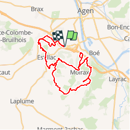


15.2 km | 22 km-effort

User


FREE GPS app for hiking
 SityTrail
IGN / Geographical institutes
SityTrail World
The world is yours!
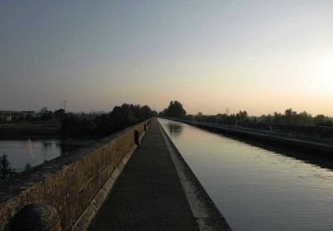
Trail Mountain bike of 42 km to be discovered at New Aquitaine, Lot-et-Garonne, Estillac. This trail is proposed by tracegps.
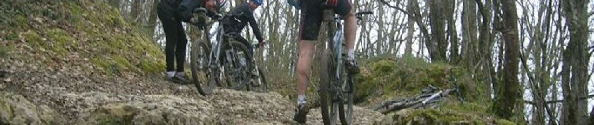
Le départ du circuit se fait au niveau du rond de l'Agropole. Le circuit est fait de beaucoup de pierres, racines, beaucoup de montées et descentes techniques, c'est du pur bonheur! En plus, pour ceux qui veulent essayer des rampes vous en trouverez sur le circuit mais c'est en cours de construction, et ça devrait le faire !!!!!!!


Walking
Bicycle tourism

Mountain bike

Walking

Walking

Equestrian

Mountain bike
Walking
Walking