


9.8 km | 13.6 km-effort


User


FREE GPS app for hiking
 SityTrail
IGN / Geographical institutes
SityTrail World
The world is yours!
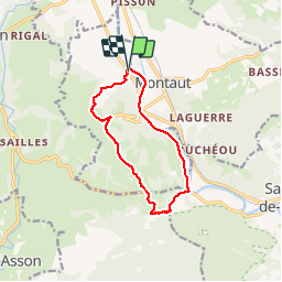
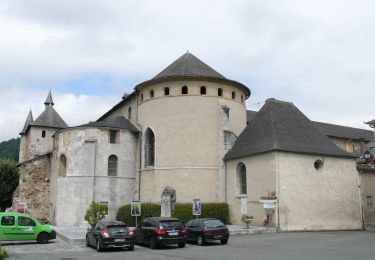
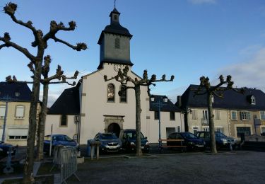
Trail Walking of 11 km to be discovered at New Aquitaine, Pyrénées-Atlantiques, Lestelle-Bétharram. This trail is proposed by pilgrim08.
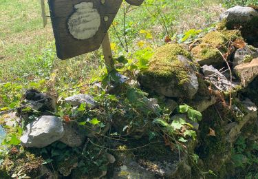
Depart lestelle le long du gave de pau,montée par la route des grottes puis petite route sur les hauteurs avec vue magnifique sur la chaine des pyrénéees


On foot
On foot
On foot
On foot
Walking
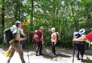
Walking
On foot
Walking

Walking