


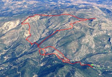
14.2 km | 24 km-effort

User


FREE GPS app for hiking
 SityTrail
IGN / Geographical institutes
SityTrail World
The world is yours!
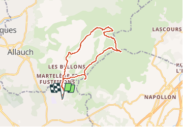
Trail Walking of 15 km to be discovered at Provence-Alpes-Côte d'Azur, Bouches-du-Rhône, Marseille. This trail is proposed by tracegps.
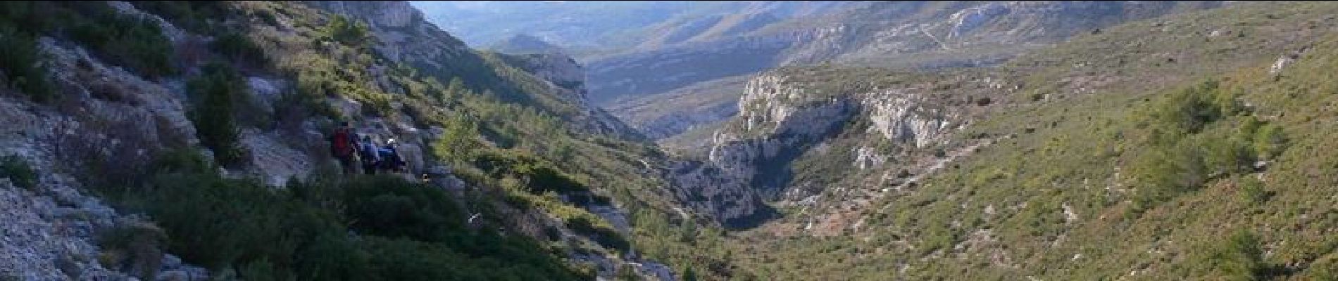
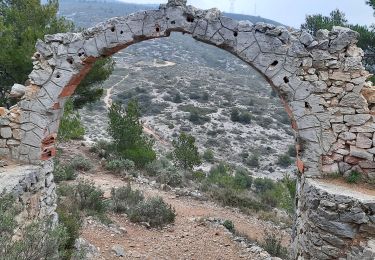
Le massif du Garlaban - sur les pas de Pagnol "Nous sortîmes du village, alors commença la féerie et je sentis naître un amour qui devait durer toute ma vie..." Il faut maintenant aller un peu plus loin que le bout du village, dépasser La Treille et la bastide Neuve."la villa des vacances" pour partager la passion de Marcel Pagnol.. Sur la parcours passe par la faille de la grotte de Pagnol ou la grotte de Grosibou seulement pour les mince et sans sac. Ne pas oublier aussi "La ferme d'Angèle" petit variante de 20mn aller retour.


Walking
Walking

Walking

Other activity
Walking

Walking
Walking
Walking
Walking