


9.4 km | 13.1 km-effort

User


FREE GPS app for hiking
 SityTrail
IGN / Geographical institutes
SityTrail World
The world is yours!
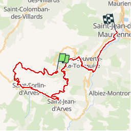
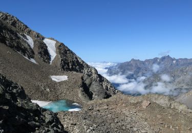
Trail Mountain bike of 37 km to be discovered at Auvergne-Rhône-Alpes, Savoy, Villarembert. This trail is proposed by tracegps.
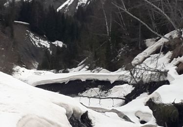
Circuit proposé par Alpes Tour Une bonne préparation physique en haute montagne est indispensable. Toutes les infos et photos sont ICI VTT - Maurienne - L ouillon 01-07-07 envoyé par alpestour

Walking
Nordic walking
Walking

Mountain bike
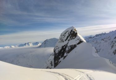
Touring skiing

Walking
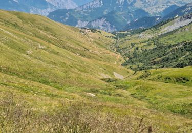
Walking
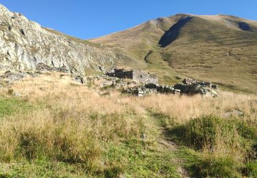
Walking
Snowshoes