


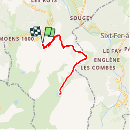

19.8 km | 37 km-effort

User


FREE GPS app for hiking
 SityTrail
IGN / Geographical institutes
SityTrail World
The world is yours!
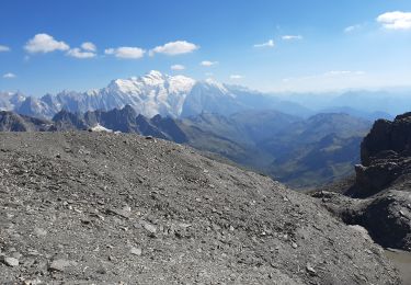
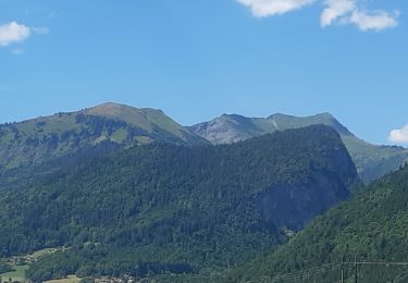
Trail Walking of 13.5 km to be discovered at Auvergne-Rhône-Alpes, Upper Savoy, Samoëns. This trail is proposed by Eric-o-.
Rando montagne


Walking
Walking
Walking
Walking
Walking
Walking
Walking
Walking
Walking
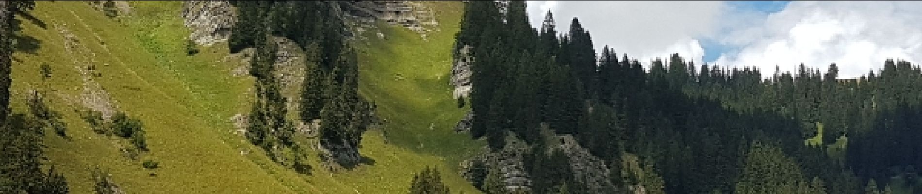
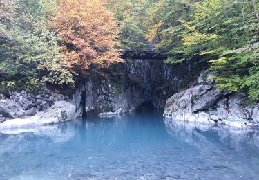
+ belle balade familiale. Beaux paysages. Sympathique petit lac de montagne. - Chemin large utilisable par 4*4