


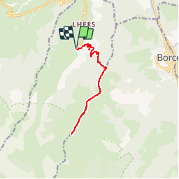

16.9 km | 30 km-effort

User


FREE GPS app for hiking
 SityTrail
IGN / Geographical institutes
SityTrail World
The world is yours!
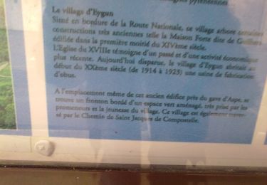
Trail Walking of 12.8 km to be discovered at New Aquitaine, Pyrénées-Atlantiques, Accous. This trail is proposed by tracegps.
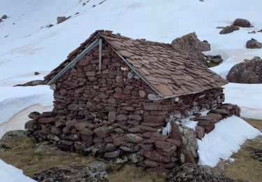
Sommet en vallée d'Aspe sans grande difficulté si ce n’est le dénivelé. Fabuleux point de vue par beau temps !

Snowshoes

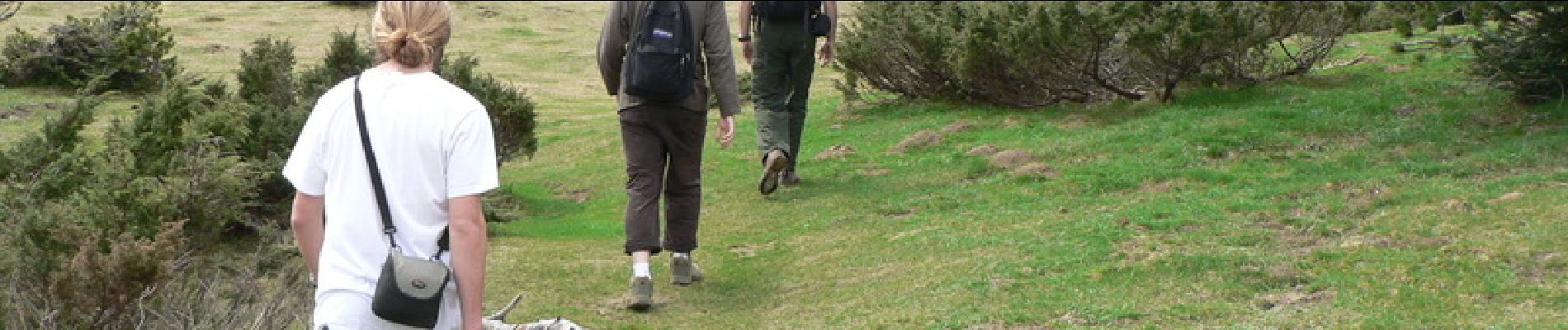
Walking

Walking

Walking

Walking
On foot
On foot
On foot
On foot