


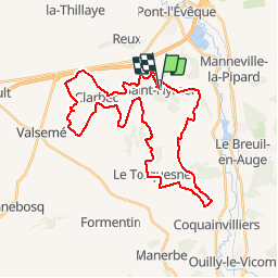

14.8 km | 18.9 km-effort

User


FREE GPS app for hiking
 SityTrail
IGN / Geographical institutes
SityTrail World
The world is yours!
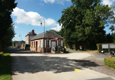
Trail Mountain bike of 34 km to be discovered at Normandy, Calvados, Saint-Hymer. This trail is proposed by tracegps.
Circuit magnifique !!! De très jolis paysages, de très belles maisons normandes. Parcours un peu technique avec de belles descentes et de belles montées.


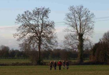
Walking

Walking
Walking
Walking

Walking
Walking
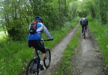
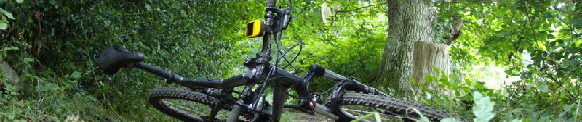
Mountain bike

Walking
Electric bike