


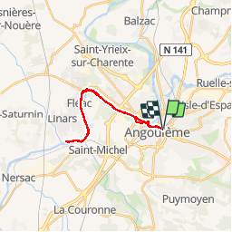


8.1 km | 9.9 km-effort


User


FREE GPS app for hiking
 SityTrail
IGN / Geographical institutes
SityTrail World
The world is yours!
Trail Walking of 21 km to be discovered at New Aquitaine, Charente, Angoulême. This trail is proposed by tracegps.
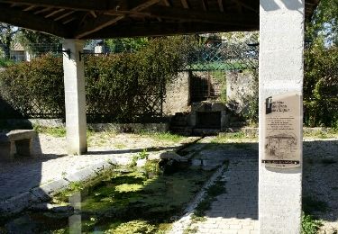
La coulée verte est un ancien chemin de halage. Elle longe le fleuve Charente à travers Angoulème sur près de 20 km. Téléchargez le plan de la Coulée Verte.
Walking
Walking
Walking

Walking
Walking

Other activity
Walking
Walking
Mountain bike